Schellville, California
| Schellville, California | |
|---|---|
| Unincorporated community | |
 Schellville, California | |
| Coordinates: 38°14′46″N 122°26′23″W / 38.24611°N 122.43972°WCoordinates: 38°14′46″N 122°26′23″W / 38.24611°N 122.43972°W | |
| Country | United States |
| State | California |
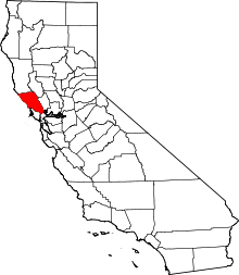
| County | Sonoma |
| Elevation | 13 ft (4 m) |
| Time zone | Pacific (PST) (UTC-8) |
| • Summer (DST) | PDT (UTC-7) |
| Area code(s) | 707 |
| GNIS feature ID | 252789[1] |
Schellville is an unincorporated community in Sonoma County, California, United States. Schellville is located at the junction of California State Route 12 and California State Route 121 south of Sonoma. The community had a post office from 1888 to 1931.[2]
Freight service on the Northwestern Pacific Railroad was planned to start again in July 2010, from the California Northern interchange at Schellville, north to Windsor until delays pushed the hoped-for start date to later in 2011.
There is only daily trip in each direction on the Valley of the Moon Commute Club transbay express service to San Francisco via Sonoma, El Verano, Boyes Hot Springs, Santa Rosa, and San Rafael.
References
- ↑ "US Board on Geographic Names". United States Geological Survey. 2007-10-25. Retrieved 2008-01-31.
- ↑ Durham, David L. (1998). California's Geographic Names: A Gazetteer of Historic and Modern Names of the State. Quill Driver Books. p. 700. ISBN 1-884995-14-4.
External links
This article is issued from Wikipedia - version of the 10/29/2016. The text is available under the Creative Commons Attribution/Share Alike but additional terms may apply for the media files.