Simri-Bakhtiarpur
| Simri-Bakhtiarpur सिमरी बख्तियारपुर | |
|---|---|
| town | |
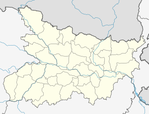 Simri-Bakhtiarpur Location in Bihar, India | |
| Coordinates: 25°43′0″N 86°35′0″E / 25.71667°N 86.58333°ECoordinates: 25°43′0″N 86°35′0″E / 25.71667°N 86.58333°E | |
| Country |
|
| State | Bihar |
| District | Saharsa |
| Government | |
| • Type | nagar panchayat |
| Elevation | 31 m (102 ft) |
| Languages | |
| • Official | english, Hindi |
| Time zone | IST (UTC+5:30) |
| PIN | 852127 |
| Lok Sabha constituency | Khagaria |
| Vidhan Sabha constituency | Simri Bakhtiarpur |
| Avg. summer temperature | 43 °C (109 °F) |
| Avg. winter temperature | 15 °C (59 °F) |
| Website |
simribakhtiyarpur24 |
Simri-Bakhtiarpur is a subdivision and town in Saharsa district of Bihar state, India. It is the largest area of Saharsa district, with 24 Panchayats.
Geography
It is located at 25°43′0″N 86°35′0″E / 25.71667°N 86.58333°E at an elevation of 31 m above MSL.[1]
Location
National Highway 107 passes through Simri-Bakhtiarpur. Nearest airport is Patna Airport.
References
- ↑ "Maps, Weather, and Airports for Simri Bakhtiarpur, India". Fallingrain.com. Retrieved 2016-07-17.
External links
This article is issued from Wikipedia - version of the 9/12/2016. The text is available under the Creative Commons Attribution/Share Alike but additional terms may apply for the media files.