Songtao Miao Autonomous County
| Songtao County 松桃县 | |
|---|---|
| County | |
| 松桃苗族自治县 Songtao Miao Autonomous County | |
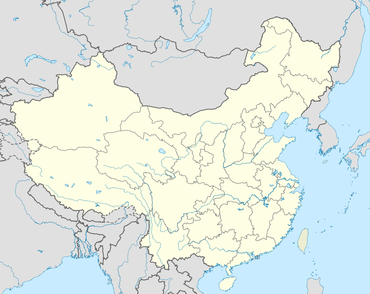
 Songtao Location in China | |
| Coordinates: 28°09′N 109°12′E / 28.150°N 109.200°ECoordinates: 28°09′N 109°12′E / 28.150°N 109.200°E | |
| Country | People's Republic of China |
| Province | Guizhou |
| Prefecture | Tongren |
| Area | |
| • Total | 3,400 km2 (1,300 sq mi) |
| Elevation | 411 m (1,348 ft) |
| Population | |
| • Total | 620,000 |
| • Density | 180/km2 (470/sq mi) |
| Time zone | China Standard (UTC+8) |
| Postal code | 558200 |
| Area code(s) | 0856 |
| Website | http://www.songtao.gov.cn/ |
Songtao Miao Autonomous County (simplified Chinese: 松桃苗族自治县; traditional Chinese: 松桃苗族自治縣; pinyin: Sōngtáo Miáozú Zìzhìxiàn) is an autonomous county of northeastern Guizhou province, Southwest China, created for the Miao people. It is under the administration of Tongren Prefecture.
Administrative divisions
Towns (13): Liaogao (蓼皋镇) | Pandan (盘石镇) | Panxin (盘信镇) | Dapingchang (大坪场镇) | Pujiao (普觉镇) | Zhaiying (寨英镇) | Mengqi (孟溪镇) | Wuluo (乌罗镇) | Ganlong (甘龙镇) | Changxingbao (长兴堡镇) | Yajia (迓驾镇) | Daxing (大兴镇) | Niulang (牛郎镇)
Townships (15): Jiujang (九江乡) | Shichang (世昌乡) | Zhengda (正大乡) | Changping (长坪乡) | Taipingying (太平营乡) | Pingtou (平头乡) | Dalu (大路乡) | Miao'ai (妙隘乡) | Lengshuiqi (冷水溪乡) | Danliang (石梁乡) | Waqi (瓦溪乡) | Yong'an (永安乡) | Mushu (木树乡) | Huangban (黄板乡) | Shabahe (沙坝河乡)