South Brook Water Aerodrome
| South Brook Water Aerodrome | |||||||||||
|---|---|---|---|---|---|---|---|---|---|---|---|
| IATA: none – ICAO: none – TC LID: CCT5 | |||||||||||
| Summary | |||||||||||
| Airport type | Private | ||||||||||
| Operator | Air Sport Inc. | ||||||||||
| Location | South Brook, Newfoundland and Labrador | ||||||||||
| Time zone | NST (UTC−03:30) | ||||||||||
| • Summer (DST) | NDT (UTC−02:30) | ||||||||||
| Elevation AMSL | 17 ft / 5 m | ||||||||||
| Coordinates | 49°01′N 057°38′W / 49.017°N 57.633°WCoordinates: 49°01′N 057°38′W / 49.017°N 57.633°W | ||||||||||
| Map | |||||||||||
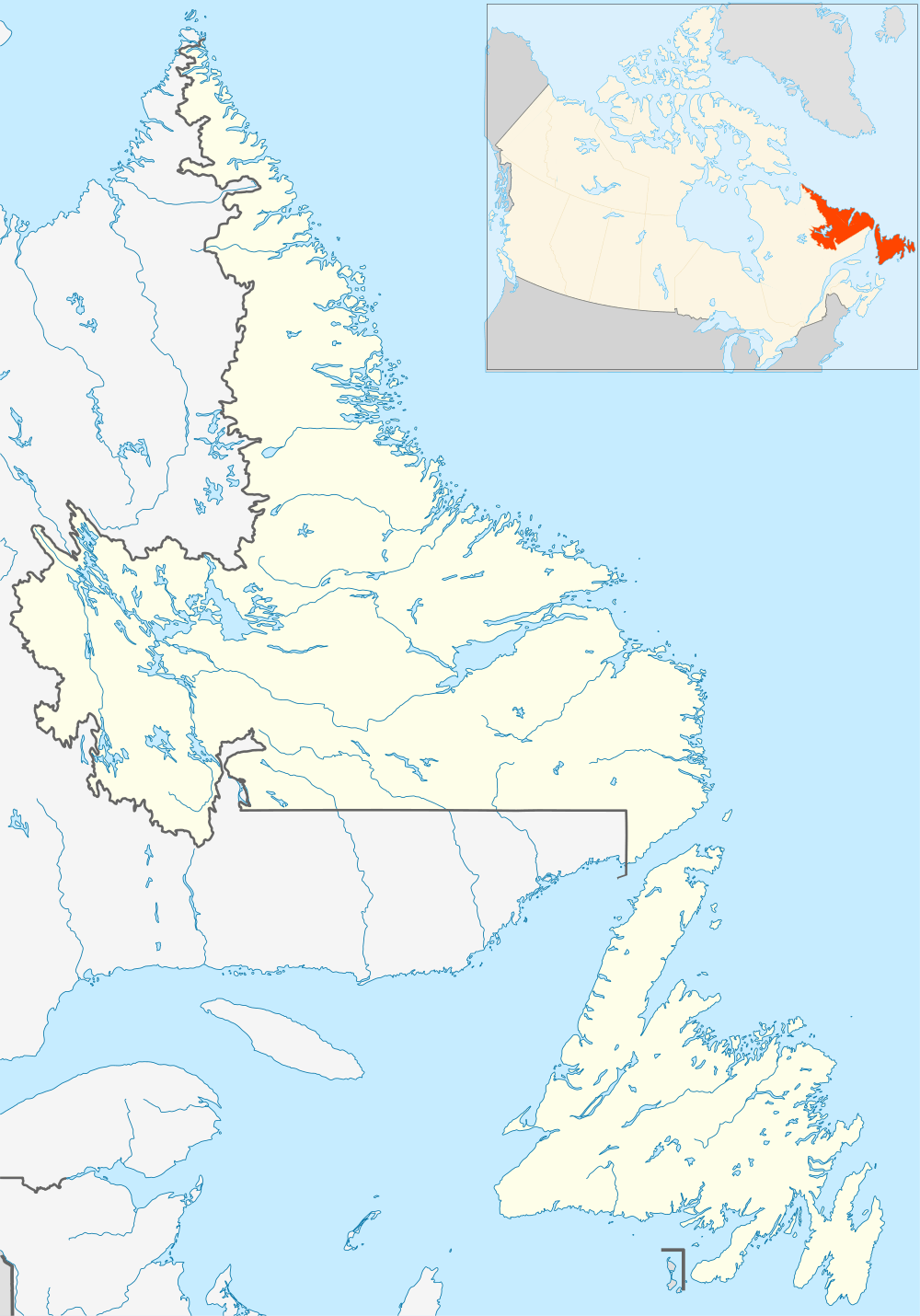 CCT5 Location in Newfoundland and Labrador | |||||||||||
| Runways | |||||||||||
| |||||||||||
|
Source: Water Aerodrome Supplement[1] | |||||||||||
South Brook Water Aerodrome (TC LID: CCT5) is located on the shores of Deer Lake, Newfoundland and Labrador, Canada and is open from May until the middle of November.
References
- ↑ Nav Canada's Water Aerodrome Supplement. Effective 0901Z 7 March 2013 to 0901Z 3 April 2014
| By name | |
|---|---|
| By location indicator | |
| By province/territory | |
| By region | |
| National Airports System | |
| Related | |
| |
This article is issued from Wikipedia - version of the 12/4/2016. The text is available under the Creative Commons Attribution/Share Alike but additional terms may apply for the media files.