South Indian Lake Airport
| South Indian Lake Airport | |||||||||||
|---|---|---|---|---|---|---|---|---|---|---|---|
| IATA: XSI – ICAO: CZSN | |||||||||||
| Summary | |||||||||||
| Airport type | Public | ||||||||||
| Operator | Government of Manitoba | ||||||||||
| Location | South Indian Lake, Manitoba | ||||||||||
| Time zone | CST (UTC−06:00) | ||||||||||
| • Summer (DST) | CDT (UTC−05:00) | ||||||||||
| Elevation AMSL | 951 ft / 290 m | ||||||||||
| Coordinates | 56°47′34″N 098°54′26″W / 56.79278°N 98.90722°WCoordinates: 56°47′34″N 098°54′26″W / 56.79278°N 98.90722°W | ||||||||||
| Map | |||||||||||
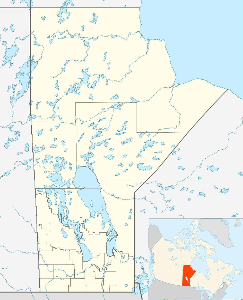 CZSN Location in Manitoba | |||||||||||
| Runways | |||||||||||
| |||||||||||
| Statistics (2010) | |||||||||||
| |||||||||||
South Indian Lake Airport, (IATA: XSI, ICAO: CZSN), is located 2 nautical miles (3.7 km; 2.3 mi) east of South Indian Lake, Manitoba, Canada.
References
- ↑ Canada Flight Supplement. Effective 0901Z 15 September 2016 to 0901Z 10 November 2016
- ↑ Total aircraft movements by class of operation
External links
| By name | |
|---|---|
| By location indicator | |
| By province/territory | |
| By region | |
| National Airports System | |
| Related | |
| |
This article is issued from Wikipedia - version of the 12/4/2016. The text is available under the Creative Commons Attribution/Share Alike but additional terms may apply for the media files.