Straume, Fjell
| Straume | |
|---|---|
| Village | |
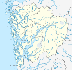 Straume  Straume Location in Hordaland county | |
| Coordinates: 60°21′40″N 05°07′19″E / 60.36111°N 5.12194°ECoordinates: 60°21′40″N 05°07′19″E / 60.36111°N 5.12194°E | |
| Country | Norway |
| Region | Western Norway |
| County | Hordaland |
| District | Midhordland |
| Municipality | Fjell |
| Area[1] | |
| • Total | 6.62 km2 (2.56 sq mi) |
| Elevation[2] | 33 m (108 ft) |
| Population (2013)[1] | |
| • Total | 10,302 |
| • Density | 1,556/km2 (4,030/sq mi) |
| Time zone | CET (UTC+01:00) |
| • Summer (DST) | CEST (UTC+02:00) |
| Post Code | 5353 Straume |
Straume is the administrative center of Fjell municipality in Hordaland county, Norway. The village is located on the western part of the island of Litlesotra, just south of the village of Foldnes and southwest of the village of Knarrvika. Straume is the centre of government for the municipality and it is also the centre of commerce for the municipality. The large Sartor Senter, a regional shopping center is located in Straume.
There is a bridge on Norwegian National Road 555 that connects Straume to the island of Bildøyna, immediately to the west. This bridge is the only road connection to the large archipelago of Øygarden, Fjell, and Sund municipalities.[3]
The 6.62-square-kilometre (1,640-acre) urban area of Straume (which includes Knarrvika) has a population (2013) of 10,302; giving the area a population density of 1,556 inhabitants per square kilometre (4,030/sq mi).[1]
References
- 1 2 3 Statistisk sentralbyrå (1 January 2013). "Urban settlements. Population and area, by municipality.".
- ↑ "Straume, Fjell (Hordaland)" (in Norwegian). yr.no. Retrieved 2014-12-08.
- ↑ Store norske leksikon. "Straume – i Fjell" (in Norwegian). Retrieved 2014-12-08.