Sveningen
| Sveningen | |
|---|---|
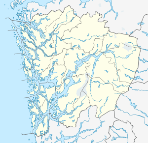 Sveningen Location in Hordaland | |
| Highest point | |
| Elevation | 842 m (2,762 ft) [1][2] |
| Prominence | 519 m (1,703 ft) [1][2] |
| Isolation | 2.85 kilometres (1.77 mi) |
| Coordinates | 60°19′05″N 05°32′59″E / 60.31806°N 5.54972°ECoordinates: 60°19′05″N 05°32′59″E / 60.31806°N 5.54972°E |
| Geography | |
| Location | Hordaland, Norway |
| Climbing | |
| Easiest route | Hiking |
Sveningen is a mountain in Hordaland county, Norway. The 842-metre (2,762 ft) tall summit of the mountain is a tripoint, marking the border of three municipalities: Bergen, Samnanger, and Os. It is the second highest mountain in Bergen municipality, after Gullfjellet (to the north), and it is the highest mountain in Os municipality.[1]
References
- 1 2 3 Arnt Flatmo. "Hordaland Mountains - Route Descriptions - Sveningen" (in Norwegian). Westcoastpeaks.com. Retrieved 2008-11-07.
- 1 2 Geir Åke Dahlen. "Toppomania - Sveningen 842 moh - fakta". Toppomania (in Norwegian). Retrieved 2008-11-07.
This article is issued from Wikipedia - version of the 5/8/2016. The text is available under the Creative Commons Attribution/Share Alike but additional terms may apply for the media files.