Tingvollfjorden (Møre og Romsdal)
| Tingvollfjorden | |
|---|---|
 View of the fjord | |
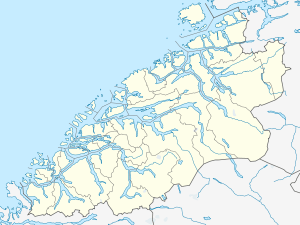 Tingvollfjorden Location in Møre og Romsdal | |
| Location | Nordmøre, Møre og Romsdal |
| Coordinates | 62°48′22″N 8°12′25″E / 62.806°N 8.207°ECoordinates: 62°48′22″N 8°12′25″E / 62.806°N 8.207°E |
| Basin countries | Norway |
| Max. length | 54 kilometres (34 mi) |
| Max. depth | −113 metres (−371 ft) |
Tingvollfjorden is a fjord in the municipalities of Tingvoll, Gjemnes, Nesset, and Sunndal. The inner part of the fjord (inside the municipality of Sunndal) is called the Sunndalsfjorden. The fjord begins at the island of Bergsøya and stretches about 54 kilometres (34 mi) to the village of Sunndalsøra. The river Driva flows into the fjord at its start. The deepest part of the fjord is just southwest of the village of Tingvollvågen where the fjord reaches a depth of 113 metres (371 ft) below sea level. Villages along the fjord include Torvikbukt, Flemma, Angvika, Tingvollvågen, Rausand, Jordalsgrenda, Øksendalsøra, Hoem, and Sunndalsøra.[1]
References
- ↑ Store norske leksikon. "Tingvollfjorden" (in Norwegian). Retrieved 2010-11-29.
This article is issued from Wikipedia - version of the 9/17/2013. The text is available under the Creative Commons Attribution/Share Alike but additional terms may apply for the media files.