Tripontium
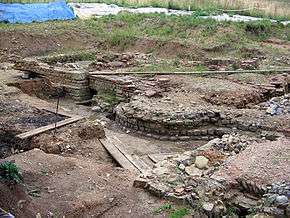 Remains of the bathouses being excavated in 2005. | |
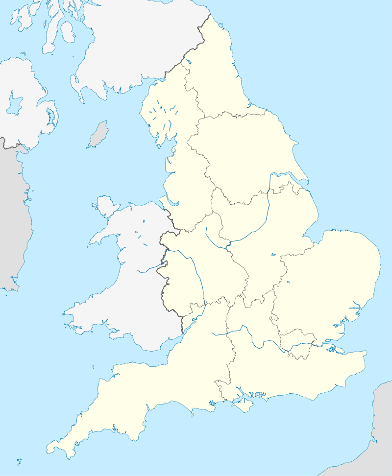 Shown within England | |
| Location | Warwickshire, England |
|---|---|
| Region | Britannia |
| Coordinates | 52°24′33″N 1°12′46″W / 52.409152°N 1.212683°WCoordinates: 52°24′33″N 1°12′46″W / 52.409152°N 1.212683°W |
| Type | Settlement |
| History | |
| Founded | Around AD 50 |
| Abandoned | 4th century |
| Periods | Roman Empire |
Tripontium (Latin for "Three-Bridge") was a town in Roman Britain. It lay just off the Roman road later called Watling Street (and known today as the A5) at a site now chiefly within the civil parish of Newton and Biggin in the English county of Warwickshire and partly in Leicestershire, some 3.4 miles north-east of Rugby and 3.1 miles south of Lutterworth.
Character
Tripontium was established as a military frontier post soon after the Roman invasion of Britain in AD 47. Its name references the bridges over the River Avon and two of its tributaries. Tripontium was a civilian town which was inhabited for around 400 years before being abandoned in the late 4th century when the Romans left Britain. It was connected to the road network near Watling Street, but via a detour 7 Roman miles longer than the main route between Venonis (High Cross) and Bannaventa (Norton).[1]
Excavations
The exact position of Tripontium remained a mystery for centuries, but it was found by the antiquarian Matthew Bloxam in 1836. Excavation works at the site were begun in 1961 by the Rugby Archaeological Society and have continued ever since.
From its out-of-the-way location, it was initially thought that Tripontium was a small wayside settlement of little importance. Excavations of the site have, however, revealed that it was an important Romano-British town, with large public bath houses, an extensive administrative building, and an inn (mansio) . Numerous pieces of pottery, Roman coins, and other remains have been found. Some of the area of the town has been destroyed by modern gravel extraction and part of the site is unavailable for excavation. Nevertheless, it seems highly likely that more buildings, such as the remains of a temple or a forum, remain to be found at the site. The excavation of Tripontium has been the largest of its type to be carried out by an amateur archaeological society.
Tripontium was probably the most important Roman settlement in the area. The town is some 8 miles south of Venonae (High Cross), the point at which Watling Street crossed the Fosse Way. The large size of the bathhouses and inn have led historians to conclude that Tripontium is likely to have been an important stopping-place for travellers, both military and civilian. It was probably also an administrative centre for the surrounding area.
The site is not open to the public, but many of the finds from the excavations are on display at the Rugby Art Gallery and Museum.
Further reading
Tripontium, by Jack Lucas FSA (1997) ISBN 0-9531265-0-1
References
- ↑ Antonine Itinerary. British Routes. Routes 2 & 6.