Valley Bend, Randolph County, West Virginia
| Valley Bend, West Virginia | |
|---|---|
| Census-designated place (CDP) | |
 Valley Bend, West Virginia | |
| Coordinates: 38°46′18″N 79°55′31″W / 38.77167°N 79.92528°WCoordinates: 38°46′18″N 79°55′31″W / 38.77167°N 79.92528°W | |
| Country | United States |
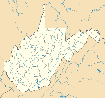
| State | West Virginia |
| County | Randolph |
| Area[1] | |
| • Total | 1.408 sq mi (3.65 km2) |
| • Land | 1.408 sq mi (3.65 km2) |
| • Water | 0 sq mi (0 km2) |
| Elevation | 2,028 ft (618 m) |
| Population (2010)[2] | |
| • Total | 485 |
| • Density | 340/sq mi (130/km2) |
| Time zone | Eastern (EST) (UTC-5) |
| • Summer (DST) | EDT (UTC-4) |
| ZIP code | 26293 |
| Area code(s) | 304 & 681 |
| GNIS feature ID | 2652421[3] |
Valley Bend is a census-designated place (CDP) in Randolph County, West Virginia, United States. Valley Bend is located on U.S. Route 219, U.S. Route 250, West Virginia Route 55, and West Virginia Route 92 3.5 miles (5.6 km) northwest of Mill Creek. Valley Bend has a post office with ZIP code 26293.[4] As of the 2010 census, its population was 485.[2]
The community was named for a nearby meander in the Tygart Valley River.[5]
References
- ↑ "US Gazetteer files: 2010, 2000, and 1990". United States Census Bureau. 2011-02-12. Retrieved 2011-04-23.
- 1 2 "American FactFinder". United States Census Bureau. Retrieved 2011-05-14.
- ↑ U.S. Geological Survey Geographic Names Information System: Valley Bend, Randolph County, West Virginia
- ↑ ZIP Code Lookup
- ↑ Kenny, Hamill (1945). West Virginia Place Names: Their Origin and Meaning, Including the Nomenclature of the Streams and Mountains. Piedmont, WV: The Place Name Press. p. 643.
Municipalities and communities of Randolph County, West Virginia, United States | ||
|---|---|---|
| City |  | |
| Towns | ||
| CDPs | ||
| Unincorporated communities |
| |
| Ghost towns | ||
| Footnotes | ‡This populated place also has portions in an adjacent county or counties | |
This article is issued from Wikipedia - version of the 9/5/2016. The text is available under the Creative Commons Attribution/Share Alike but additional terms may apply for the media files.