Winchester Municipal Airport
| Winchester Municipal Airport | |||||||||||
|---|---|---|---|---|---|---|---|---|---|---|---|
| IATA: none – ICAO: KBGF – FAA LID: BGF | |||||||||||
| Summary | |||||||||||
| Airport type | Public | ||||||||||
| Owner | City of Winchester | ||||||||||
| Serves | Winchester, Tennessee | ||||||||||
| Elevation AMSL | 979 ft / 298 m | ||||||||||
| Coordinates | 35°10′39″N 086°03′58″W / 35.17750°N 86.06611°W | ||||||||||
| Website | winchester-airport.com | ||||||||||
| Map | |||||||||||
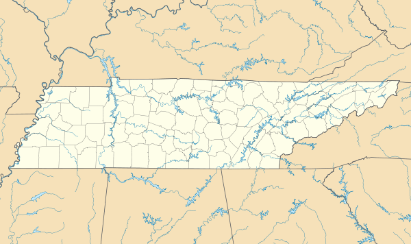 KBGF Location of airport in Tennessee | |||||||||||
| Runways | |||||||||||
| |||||||||||
| Statistics (2008) | |||||||||||
| |||||||||||
Winchester Municipal Airport (ICAO: KBGF, FAA LID: BGF) is a city-owned public-use airport located three nautical miles (6 km) southeast of the central business district of Winchester, a city in Franklin County, Tennessee, United States.[1]
Although most U.S. airports use the same three-letter location identifier for the FAA and IATA, this airport is assigned BGF by the FAA but has no designation from the IATA[2] (which assigned BGF to Bangui M'Poko International Airport in Bangui, Central African Republic[3]).
Facilities and aircraft
Winchester Municipal Airport covers an area of 134 acres (54 ha) at an elevation of 979 feet (298 m) above mean sea level. It has one asphalt paved runway designated 18/36 which measures 5,002 by 75 feet (1,525 x 23 m).[1]
For the 12-month period ending June 30, 2008, the airport had 5,200 aircraft operations, an average of 14 per day: 92% general aviation, 5% air taxi and 3% military. At that time there were 28 aircraft based at this airport: 75% single-engine, 18% multi-engine and 7% jet.[1]
References
- 1 2 3 4 FAA Airport Master Record for BGF (Form 5010 PDF), effective 2009-05-07.
- ↑ Great Circle Mapper: KBGF - Winchester, Tennessee
- ↑ Great Circle Mapper: BGF / FEFF - Bangui, Central African Republic
External links
- Winchester Municipal Airport
- FAA Terminal Procedures for BGF, effective December 8, 2016
- Resources for this airport:
- FAA airport information for BGF
- AirNav airport information for BGF
- FlightAware airport information and live flight tracker
- SkyVector aeronautical chart for BGF