Yockleton
| Yockleton | |
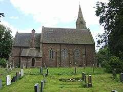 Holy Trinity Church, Yockleton |
|
 Yockleton |
|
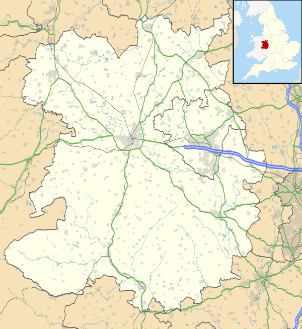
| OS grid reference | SJ399101 |
|---|---|
| Civil parish | Westbury |
| Unitary authority | Shropshire |
| Ceremonial county | Shropshire |
| Region | West Midlands |
| Country | England |
| Sovereign state | United Kingdom |
| Post town | SHREWSBURY |
| Postcode district | SY5 |
| Dialling code | 01743 |
| Police | West Mercia |
| Fire | Shropshire |
| Ambulance | West Midlands |
| EU Parliament | West Midlands |
| UK Parliament | Shrewsbury and Atcham |
|
|
Coordinates: 52°41′06″N 2°53′20″W / 52.685°N 2.889°W
Yockleton is a village in Shropshire, England.
Yockleton is west of the county town of Shrewsbury, on the B4386 road to Montgomery and near the River Severn.[1] The population as taken at the 2011 census can be found under Condover
There is one local pub, the Yockleton Arms[2] (formerly the Pink Elephant), several miles west on the B4386, a 19th-century village church (C of E),[3] and a village hall, as well as an old people's home in the old Vicarage.
Previously Yockleton had a school, a garage, a post office and a pub in the heart of the village. These have closed as the village has developed into a commuter village for Shrewsbury. There is a Motte and Bailey in a field not far from the church.
Yockleton is near to Ford and Westbury, and lies in the Westbury civil parish; the hamlets of Edge and Farley lie due south of the village, and Nox is to the east.
References
External links
![]() Media related to Yockleton at Wikimedia Commons
Media related to Yockleton at Wikimedia Commons