A36 road
| |
|---|---|
 | |
|
A36 close to its junction with the A303 | |
| Major junctions | |
| North end: | Bath |
|
[[Image:Motorway Left.svg|[ |x30px|link=]] | |
| South end: | Southampton |
| Location | |
| Primary destinations: |
Warminster Salisbury |
| Road network | |
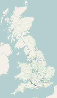
The A36 is a trunk road and primary route in England that links the port city of Southampton to the city of Bath. At Bath, the A36 connects with the A4 road to Bristol, thus enabling a road link between the major ports of Southampton and Bristol. Originally, the A36 continued onto Avonmouth, but this section was renumbered to the A4. On its way south from Bath the A36 passes a number of towns and a city, including Warminster, Wilton and Salisbury in Wiltshire, and Totton in Hampshire, on the western outskirts of Southampton, where it joins the A35 road.
Standard of route
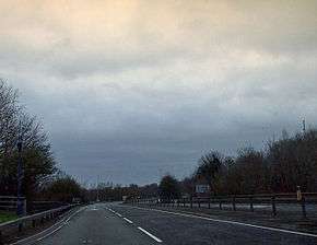
The majority of the A36 is built to single carriageway standard, but parts of it have been upgraded to dual carriageway standard. The A36 is dual carriageway for its 1 mile (1.6 km) bypass of the village of Beckington, 3 miles (5 km) north of Frome, and also dualled for approximately 1 mile (1.6 km) near to its grade separated junction with the A303 road, 8 miles (13 km) north-west of Wilton). The A36 in Salisbury acts as the city's ring road, bypassing the city centre to dual carriageway standard. Additionally, just south-east of Salisbury the largest dualled section exists for about 4 miles (6 km), bypassing the village of Alderbury. Then, the road is briefly dualled from its roundabout with the A3090 road to the M27 motorway (junction 2) – this part of the road is erroneously thought by some to have been previously known as the A36(M); prior to the opening of the Totton Western Bypass on the other side of Junction 2, it was named as a spur of the M27, and hence is built to motorway standards (see link below). It again reverts to single carriageway standard through Totton until it terminates.
Points of interest
| Point | Coordinates (Links to map resources) |
OS Grid Ref | Notes |
|---|---|---|---|
| Bath | 51°23′21″N 2°23′50″W / 51.3892°N 2.3971°W | ST724656 | Bath, Somerset |
| Southampton | 50°55′20″N 1°28′13″W / 50.9221°N 1.4703°W | SU373137 | Southampton |

