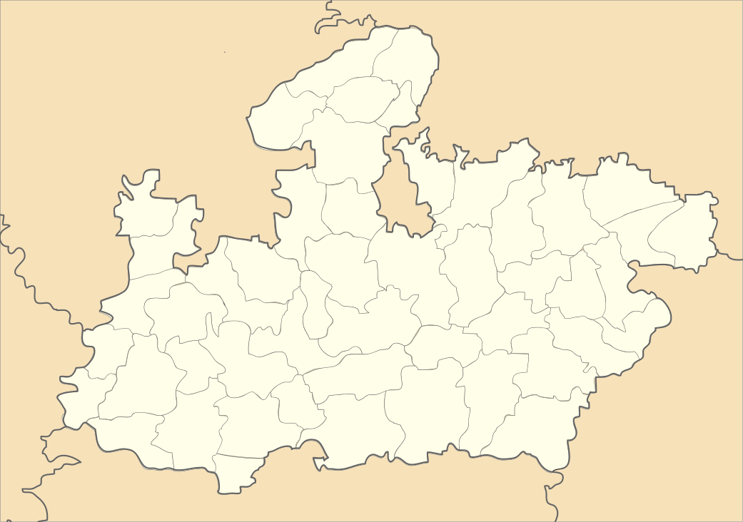
Amla, Madhya Pradesh
| Amla | |
|---|---|
| Sub-district | |
 Amla  Amla Location in Madhya Pradesh, India | |
| Coordinates: 21°55′28″N 78°07′40″E / 21.924335°N 78.127856°ECoordinates: 21°55′28″N 78°07′40″E / 21.924335°N 78.127856°E | |
| Country |
|
| State | Madhya Pradesh |
| District | Betul |
| Elevation | 737 m (2,418 ft) |
| Population (2001) | |
| • Total | 29,553 |
| Languages | |
| • Official | Hindi |
| Time zone | IST (UTC+5:30) |
| ISO 3166 code | IN-MP |
| Vehicle registration | MP |
Amla is a sub-district or a tehsil, located in Betul district, Madhya Pradesh, India. Amla accommodates a rail junction, served by broad gauge lines, which connects the sub-district to Itarsi (in the north), Nagpur (in the southeast), and Chhindwara (in the east).
Geography
Amla, located at 21°55′28″N 78°07′40″E / 21.924335°N 78.127856°E, has an average elevation of 737 metres (2421 feet).[1]
Earlier, the place was used by the British to store their ammunition. The name is derived from "Ammunition Land", which was later abbreviated to Amla. The sub-district is famous for the Indian Air Force Depot.
Before 1989, the Amla railway station was used as a base kitchen for catering. In 1989, the base kitchen was shifted to Itarsi .
Bodkhi and Amla Town markets are situated in the sub-district; Pachama is the biggest waterfall, located 20 kilometers near the railway station. Major educational institutions are GOVT college, Amla; Nandkishore Patel Mahavidyalaya Amla ; Kendriya Vidyalaya Amla;[2] Amla Government High School; Paradise Higher Secondary School Amla, Life Career school , Gurunank Higher Secondary School; Thakur Indal Singh High School; Indian Computer Science and Technology Institute Affiliated by Maharshi Mahesh Yogi Vaidik Vishwavidyalaya, Jabalpur; Jawaharlal Nehru College and Government College, Hasalpur.
A Hanuman Mandir and volley ball ground, is situated near Govind Colony and is estimated to be very old. A big temple of Renuka Mata is also located in Chhawal, 7 kilometers away from the sub-district,and a aerodrum near football stadium of railway is used as joging place, sai mandir is very famous, a dam is near of it.
Demographics
As of 2011 India census,[3] Amla had a population of 30215. Males constituted 51.50% of the population and females 48.50%. Amla has an average literacy rate of 79.78%, 14.94% higher than the national average of 64.84% according to the 2011 census. 12% of the population is under 7 years of age.
References
- ↑ Falling Rain Genomics, Inc - Amla
- ↑
- ↑ "Census of India 2001: Data from the 2001 Census, including cities, villages and towns (Provisional)". Census Commission of India. Archived from the original on 2004-06-16. Retrieved 2008-11-01.