Apozol Municipality
| Municipality of Apozol | |
|---|---|
| Municipality | |
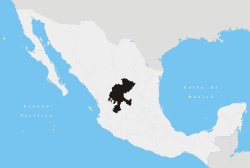
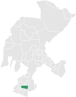 Location of Apozol within Zacatecas and Mexico | |
| Coordinates: 21°28′N 103°5′W / 21.467°N 103.083°WCoordinates: 21°28′N 103°5′W / 21.467°N 103.083°W | |
| Country |
|
| State | Zacatecas |
| Municipal seat | Apozol |
| Largest city | Apozol |
| Founded | December 1541 (Cristóbal de Oñate) |
| Municipality | 1863 |
| Government | |
| • Municipal President |
Joaquín Robles González |
| Area | |
| • Total | 283 km2 (109 sq mi) |
| Elevation | 1,300 m (4,300 ft) |
| Population (2005)[1] | |
| • Total | 5,898 |
| • Largest city | 2,912 |
| Time zone | CST (UTC-6) |
| Postal Code | 99961 |
| Area code(s) | 467 |
Apozol is one of the 58 municipalities in the state of Zacatecas, Mexico.
It is located on the southern part of the state of Zacatecas and it is bounded by the municipalities of Jalpa, Juchipila, Nochistlán de Mejía, Tepechitlán and Teúl de González Ortega.
The municipality covers a total surface area of 283 square kilometers (109 sq mi)[2] and, in the year 2005 census, reported a population of 5,898 [1] . The municipality makes up for 0.68% of the area of the state of Zacatecas.
References
- 1 2 Link to tables of population data from Census of 2005 Archived March 28, 2007, at the Wayback Machine. INEGI: Instituto Nacional de Estadística, Geografía e Informática
- ↑ "Apozol", Encyclopedia de Municipios Archived May 23, 2007, at the Wayback Machine.
Zacatecas (capital) | ||
| Municipalities and (municipal seats) |
|  |
This article is issued from Wikipedia - version of the 11/14/2016. The text is available under the Creative Commons Attribution/Share Alike but additional terms may apply for the media files.