Aspenden
| Aspenden | |
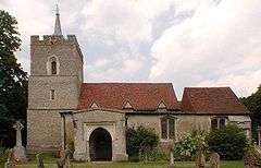
 St Mary, Aspenden |
|
 Aspenden |
|
| Population | 222 [1] 242 (2011 Census)[2] |
|---|---|
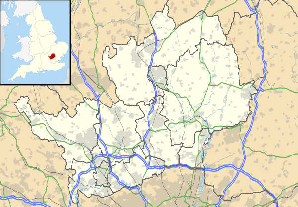
| OS grid reference | TL361282 |
| District | East Hertfordshire |
| Shire county | Hertfordshire |
| Region | East |
| Country | England |
| Sovereign state | United Kingdom |
| Post town | BUNTINGFORD |
| Postcode district | SG9 |
| Dialling code | 01763 |
| Police | Hertfordshire |
| Fire | Hertfordshire |
| Ambulance | East of England |
| EU Parliament | East of England |
| UK Parliament | North East Hertfordshire |
|
|
Coordinates: 51°56′08″N 0°01′09″W / 51.9356°N 0.0193°W
Aspenden is a village and civil parish in the East Hertfordshire district of Hertfordshire, England. The village is just to the south of Buntingford.
The Prime Meridian passes just to the east of Aspenden.
The place-name is first attested in 1212 and means 'valley of aspen trees'.
See also
References
- ↑ 2001 Census - Key statistics for parishes in Hertfordshire
- ↑ "Civil Parish population 2011". Neighbourhood Statistics. Office for National Statistics. Retrieved 25 October 2016.
External links
-
 Media related to Aspenden at Wikimedia Commons
 - Aspenden (A Guide to Old Hertfordshire)
- Aspenden in the Domesday Book
This article is issued from Wikipedia - version of the 10/25/2016. The text is available under the Creative Commons Attribution/Share Alike but additional terms may apply for the media files.