Bad Branch Falls State Nature Preserve
| Bad Branch Falls State Nature Preserve | |
|---|---|
|
Bad Branch Falls | |
 Map of Kentucky | |
| Location | Letcher County, Kentucky, United States |
| Nearest city | Cumberland, Kentucky |
| Coordinates | 37°04′03″N 82°46′20″W / 37.0675°N 82.7721°WCoordinates: 37°04′03″N 82°46′20″W / 37.0675°N 82.7721°W |
| Area | 2,639 acres (1,068 ha) |
| Established | September 26, 1985 |
| Official website | |
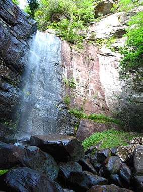
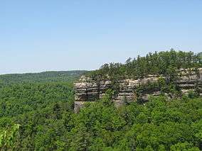
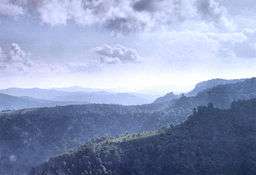
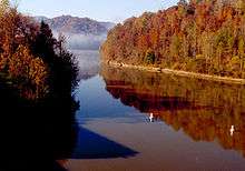
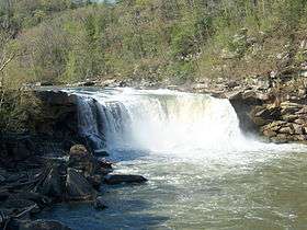
Bad Branch Falls State Nature Preserve is a 2,639-acre (10.68 km2) nature preserve in Letcher County, Kentucky. Originally dedicated by the Kentucky State Nature Preserves Commission on September 26, 1985, the preserve originally covered 435 acres (1.76 km2) and included Bad Branch Gorge, a forested gorge with a 60-foot (18 m) waterfall tumbling over sandstone cliffs on the south face of Pine Mountain. Subsequent acquisitions have expanded the preserve west into the Presley House Branch watershed, northeast into the upper reaches of the Bad Branch watershed and a small portion of the north face of Pine Mountain. The preserve also protects Kentucky's only known nesting pair of common ravens. Bad Branch has been designated a Kentucky Wild River. There are 7.4 miles (11.9 km) of foot trails and bridges over uneven strenuous terrain.[1]
References
- ↑ "Bad Branch Falls State Nature Preserve". Kentucky State Nature Preserves Commission. Retrieved August 20, 2006.
External links
- Bad Branch Falls at American Byways
- Bad Branch Falls at Kentucky State Nature Preserves Commission
- Bad Branch Falls at The Nature Conservancy