Beaconsfield, Kimberley
| Beaconsfield | |
|---|---|
 Beaconsfield  Beaconsfield  Beaconsfield
| |
| Coordinates: 28°45′25″S 24°46′55″E / 28.757°S 24.782°ECoordinates: 28°45′25″S 24°46′55″E / 28.757°S 24.782°E | |
| Country | South Africa |
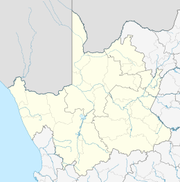
| Province | Northern Cape |
| District | Frances Baard |
| Municipality | Sol Plaatje |
| Main Place | Kimberley |
| Area[1] | |
| • Total | 1.68 km2 (0.65 sq mi) |
| Population (2011)[1] | |
| • Total | 5,494 |
| • Density | 3,300/km2 (8,500/sq mi) |
| Racial makeup (2011)[1] | |
| • Black African | 24.5% |
| • Coloured | 28.3% |
| • Indian/Asian | 1.4% |
| • White | 45.3% |
| • Other | 0.5% |
| First languages (2011)[1] | |
| • Afrikaans | 68.4% |
| • English | 14.9% |
| • Tswana | 8.5% |
| • Xhosa | 2.3% |
| • Other | 5.9% |
| Postal code (street) | 8301 |
| PO box | 8315 |
Beaconsfield is the name of a suburb of Kimberley, South Africa, formerly known as Du Toit's Pan. Beaconsfield was a separate borough from Kimberley itself until its amalgamation with the latter as the City of Kimberley in 1912.[2]
References
Municipalities and communities of Frances Baard District Municipality, Northern Cape | ||
|---|---|---|
District seat: Kimberley | ||
| Sol Plaatje | .svg.png) | |
| Phokwane | ||
| Magareng | ||
| Dikgatlong | ||
This article is issued from Wikipedia - version of the 12/23/2013. The text is available under the Creative Commons Attribution/Share Alike but additional terms may apply for the media files.