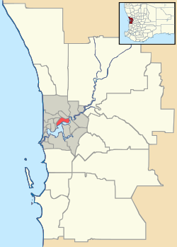
Beckenham, Western Australia
| Beckenham Perth, Western Australia | |||||||||||||
|---|---|---|---|---|---|---|---|---|---|---|---|---|---|
 Beckenham | |||||||||||||
| Coordinates | 32°01′19″S 115°57′14″E / 32.022°S 115.954°ECoordinates: 32°01′19″S 115°57′14″E / 32.022°S 115.954°E | ||||||||||||
| Population | 5,938 (2006 census)[1] | ||||||||||||
| • Density | 1,006/km2 (2,607/sq mi) | ||||||||||||
| Postcode(s) | 6107 | ||||||||||||
| Area | 5.9 km2 (2.3 sq mi) | ||||||||||||
| Location | 13 km (8 mi) from Perth | ||||||||||||
| LGA(s) | City of Gosnells | ||||||||||||
| State electorate(s) | Cannington | ||||||||||||
| Federal Division(s) | Swan | ||||||||||||
| |||||||||||||
Beckenham is a suburb of Perth, Western Australia, located within the City of Gosnells.
History
This suburb has seen many name changes. It was previously known as Buckingham, it once shared a "common usage" name of Waverley with East Cannington, and has one of the oldest and most well respected primary schools in Western Australia.[2] The Canning River runs along the southwestern outskirts of Beckenham. In 2011 Beckenham released many new divisions of land and was recently awarded a 4.5/5 star rating in a poll of best places to live in Australia.[3] In 2013 Beckenham house values increased by 14.30%.[4]
See also
References
- ↑ Australian Bureau of Statistics (25 October 2007). "Beckenham (State Suburb)". 2006 Census QuickStats. Retrieved 2008-10-05.
- ↑ Carden, F.G. Along the Canning: A History of the City of Canning, City of Canning, 1st Edition 1968, 2nd edition, 1991,
- ↑ http://www.homely.com.au/beckenham-gosnells-perth-greater-western-australia
- ↑ http://reiwa.com.au/Research/Pages/Price-growth-by-suburb.aspx
This article is issued from Wikipedia - version of the 8/22/2016. The text is available under the Creative Commons Attribution/Share Alike but additional terms may apply for the media files.