Blair, Logan County, West Virginia
| Blair | |
|---|---|
| Unincorporated community | |
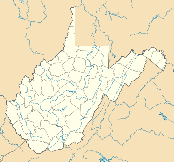 Blair  Blair Location within the state of West Virginia | |
| Coordinates: 37°52′42″N 81°49′40″W / 37.87833°N 81.82778°WCoordinates: 37°52′42″N 81°49′40″W / 37.87833°N 81.82778°W | |
| Country | United States |
| State | West Virginia |
| County | Logan |
| Time zone | Eastern (EST) (UTC-5) |
| • Summer (DST) | EDT (UTC-4) |
| FIPS code | 1553921[1] |
Blair is an unincorporated community in Logan County, West Virginia, United States, on the Spruce Fork. Blair lies along West Virginia Route 17. According to the Geographic Names Information System, Blair has also been known as Ginseg, Ginseng, and Seng.
In 1921, nearby Blair Mountain was the site of the West Virginia Mine Wars between thousands of rioting coal miners and federal troops which came to the aid of embattled local authorities. The federal troops prevailed and an unknown, but relatively small, number of people were killed in the fighting.
Also, during the Battle of Blair Mountain, a part of the West Virginia Mine Wars, federal troops used bombs against miners that attempting to reach the top.
Since the mid-1990s, Blair has been quickly depopulated by the expansion of Arco Coal Company's surface mine on Blair Mountain just above the town. Arco has bought out many local residents and filled in part of the valley upon which Blair rests with blasted rock from the mountain. About two-thirds of the approximately two hundred homes that constituted Blair in the early 1990s have since been demolished.
In December 2005 a coalition of environmental groups filed a lawsuit to stop Arco from getting the necessary permits to create more valley fills. At the time of writing, this lawsuit was not resolved.
References
- "The Redneck War of 1921". Archived from the original on March 19, 2008.
- "The Coalfield Communities of Southern West Virginia".
- "OHVEC".
- Torok, George (2004). A Guide to the Historic Coal Towns of the Big Sandy River Valley. Knoxville: University of Tennessee Press.
External links
- The Battle for Blair Mountain (2010) for information on past and present conflicts at Blair Mountain
