Bowgreave
| Bowgreave | |
.jpg) Police station, Bowgreave |
|
 Bowgreave |
|
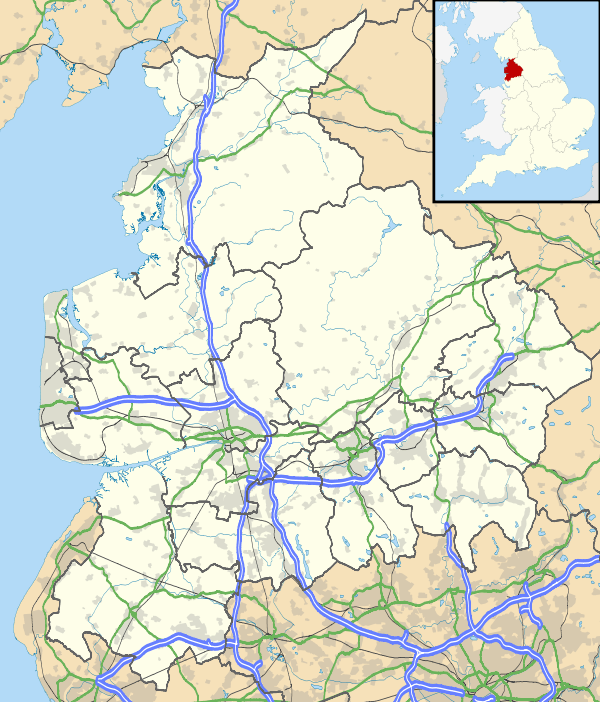
| OS grid reference | SD495439 |
|---|---|
| Civil parish | Barnacre-with-Bonds |
| District | Wyre |
| Shire county | Lancashire |
| Region | North West |
| Country | England |
| Sovereign state | United Kingdom |
| Post town | PRESTON |
| Postcode district | PR3 |
| Dialling code | 01995 |
| Police | Lancashire |
| Fire | Lancashire |
| Ambulance | North West |
| EU Parliament | North West England |
| UK Parliament | Wyre and Preston North |
|
|
Coordinates: 53°53′20″N 2°46′01″W / 53.889°N 2.767°W
Bowgreave is a village in the parish of Barnacre-with-Bonds, Lancashire, England.[1][2] Its nearest town is Garstang, a mile to the north.
Garstang Community Academy is a secondary school within the village.
See also
References
- ↑ Ordnance Survey: Landranger map sheet 102 Preston & Blackpool (Lytham St Anne's) (Map). Ordnance Survey. 2011. ISBN 9780319228289.
- ↑ "Ordnance Survey: 1:50,000 Scale Gazetteer" (csv (download)). www.ordnancesurvey.co.uk. Ordnance Survey. 1 January 2016. Retrieved 30 January 2016.
| Wikimedia Commons has media related to Bowgreave. |
This article is issued from Wikipedia - version of the 2/6/2016. The text is available under the Creative Commons Attribution/Share Alike but additional terms may apply for the media files.