Carrick, County Westmeath (civil parish)
| Carrick An Charraig | |
|---|---|
| Civil parish | |
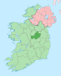
 Carrick Location of Carrick within County Westmeath in the Republic of Ireland | |
| Coordinates: 53°27′8″N 7°22′55″W / 53.45222°N 7.38194°WCoordinates: 53°27′8″N 7°22′55″W / 53.45222°N 7.38194°W | |
| Country |
|
| Province | Leinster |
| County | County Westmeath |
| Irish grid reference | N411448 |
Carrick (Irish: An Charraig)[1] is a civil parish in County Westmeath, Ireland. It is located about 8.47 kilometres (5 mi) south of Mullingar.
Carrick is one of 10 civil parishes in the barony of Fartullagh in the Province of Leinster. The civil parish covers 3,292.4 acres (13.324 km2).
Carrick civil parish comprises 6 townlands: Brackagh, Carrick, Gaddaghanstown, Higginstown, Robinstown and Walterstown, County Westmeath.
The neighbouring civil parishes are: Moylisker to the north, Kilbride to the east and Castlelost and Clonfad to the south.[2][3]
References
- ↑ Carrick civil parish Placenames Database of Ireland Retrieved on 12 July 2015.
- ↑ Carrick civil parish, Co. Westmeath townlands.ie Retrieved on 12 July 2015.
- ↑ Carrick civil parish, Co. Westmeath The IreAtlas Townland Data Base Retrieved on 12 July 2015.
External links
- Carricke civil parish at the IreAtlas Townland Data Base
- Carrick civil parish at townlands.ie
- Carrick civil parish at the Placenames Database of Ireland
This article is issued from Wikipedia - version of the 7/12/2015. The text is available under the Creative Commons Attribution/Share Alike but additional terms may apply for the media files.