Castle Rock Glacier
| Castle Rock Glacier | |
|---|---|
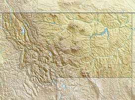 Castle Rock Glacier Location in Montana | |
| Type | Mountain glacier |
| Location | Beartooth Mountains, Carbon County, Montana, U.S. |
| Coordinates | 45°05′32″N 109°39′20″W / 45.09222°N 109.65556°WCoordinates: 45°05′32″N 109°39′20″W / 45.09222°N 109.65556°W[1] |
| Length | 650 yards (590 m) |
| Terminus | Proglacial lake |
| Status | Unknown |
Castle Rock Glacier is in the U.S. state of Montana. The glacier is situated south of Castle Rock Mountain in the Beartooth Mountains. The glacier terminus is a proglacial lake and the glacier extends from 11,700 to 11,000 ft (3,600 to 3,400 m).[2]
References
- ↑ "Castle Rock Glacier". Geographic Names Information System. United States Geological Survey. Retrieved 2012-07-30.
- ↑ Castle Mountain, MT (Map). TopoQwest (United States Geological Survey Maps). Retrieved 2012-07-30.
See also
This article is issued from Wikipedia - version of the 12/24/2015. The text is available under the Creative Commons Attribution/Share Alike but additional terms may apply for the media files.