Hudson Glacier
| Hudson Glacier | |
|---|---|
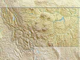 Hudson Glacier Location in Montana | |
| Type | Mountain glacier |
| Location | Glacier National Park, Glacier County, Montana, U.S. |
| Coordinates | 48°57′53″N 114°02′41″W / 48.96472°N 114.04472°WCoordinates: 48°57′53″N 114°02′41″W / 48.96472°N 114.04472°W[1] |
| Area | Approximately 8 acres (0.032 km2) in 2005[2] |
| Length | .15 mi (0.24 km) |
| Terminus | Moraine and talus |
| Status | Retreating |
Hudson Glacier is located in the US state of Montana in Glacier National Park. The glacier is situated in a cirque immediately to the east of the Continental Divide at an elevation between 7,500 feet (2,300 m) and 7,200 feet (2,200 m) above sea level.[3] A half-mile south of Lake Nooney and Lake Wurdeman, Hudson Glacier covers an area of approximately 8 acres (0.032 km2) and does not meet the threshold of 25 acres (0.10 km2) often cited as being the minimum size to qualify as an active glacier. Between 1966 and 2005, the glacier lost more than 66 percent of its acreage.[2]
See also
References
- ↑ "Hudson Glacier". Geographic Names Information System. United States Geological Survey. Retrieved 2012-09-23.
- 1 2 "Retreat of Glaciers in Glacier National Park" (pdf). United States Geological Survey. 2010. Retrieved 2012-09-23.
- ↑ Mount Carter, MT (Map). TopoQwest (United States Geological Survey Maps). Retrieved 2012-09-23.
This article is issued from Wikipedia - version of the 12/24/2015. The text is available under the Creative Commons Attribution/Share Alike but additional terms may apply for the media files.