Chotala
| Chotala چوٹالہ | |
|---|---|
| Village and union council | |
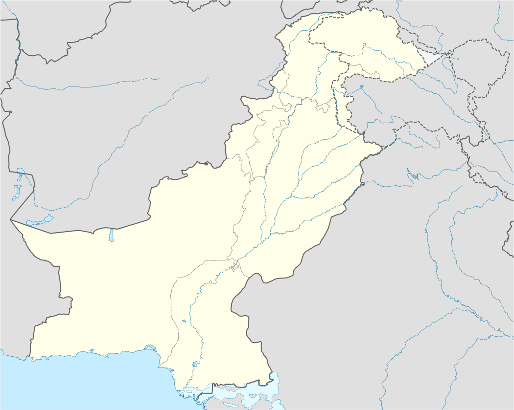 Chotala Location in Pakistan | |
| Coordinates: 32°49′03″N 73°34′27″E / 32.81750°N 73.57417°ECoordinates: 32°49′03″N 73°34′27″E / 32.81750°N 73.57417°E | |
| Country | Pakistan |
| Region | Punjab Province |
| District | Jhelum District |
| Population | |
| • Total | 11,000 |
| Time zone | PST (UTC+5) |
| Postal code | 49710 |
Chotala (Urdu: چوتالا) is a village and union council of Jhelum District in the Punjab Province of Pakistan. It is part of Jhelum Tehsil,[1] and is located at 32°49'0N 73°35'0E with an altitude of 214 metres (705 feet).[2]
References

Mustafa Mughal
This article is issued from Wikipedia - version of the 11/23/2016. The text is available under the Creative Commons Attribution/Share Alike but additional terms may apply for the media files.