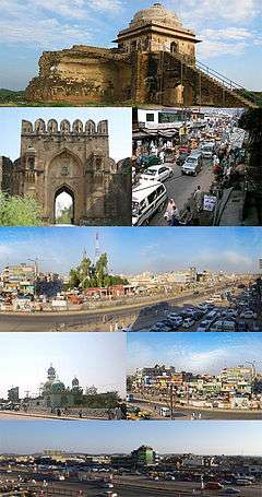
Dina, Pakistan
| Dina | |
|---|---|
| Town | |
 | |
 Dina | |
| Coordinates: 33°01′42″N 73°36′04″E / 33.02833°N 73.60111°E | |
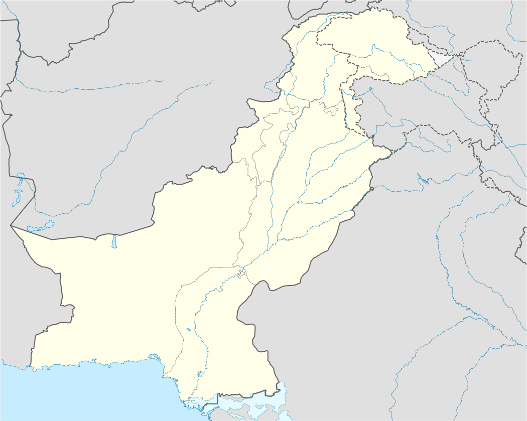
| Country | Pakistan |
| Province | Punjab |
| District | Jhelum District |
| Tehsil | Dina Tehsil |
| Area | |
| • Total | 140 km2 (50 sq mi) |
| Elevation | 275 m (902 ft) |
| Population (1998) | |
| • Total | 37,000 |
| • Estimate (2008) | 40,000[1] |
| Time zone | PST (UTC+5) |
| Postal code | 49400 |
| Calling code | 0544 |
| Number of Union councils | 2 |
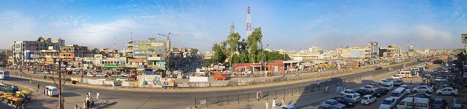
Dina (Urdu: دینہ) is a commercial town in the Jhelum District of the province of Punjab, Pakistan. It is about 10 miles (16 km) northwest of Jhelum City, where there is a junction with the road to the Mangla Dam and Rohtas Fort. The historic Grand Trunk Road passes through the centre of the town. A small industry exists in the city including wood, iron and marble industry outside the city. The main source of income of residents of city is foreign income, as a large number of citizens of city are settled abroad. It is estimated that about 60 percent of people are in foreign countries. A second main source of income is jobs in the Pakistani military. The main source of income in surrounding villages is agriculture. This town is a birthplace of Sampooran Singh Kalra (born 18 August 1934), popularly known as Gulzar, an Indian poet, lyricist and film director, whose family moved to India after partition in 1947. For his birthplace Gulzar penned following lines:
"Zikr Jhelum ka, baat ho Dine ki. Chand Pukhraj ka, raat Pashmine ki"
Government
In 1977, a municipal committee was established at Dina, but the town's status was changed to an administrative subdivision or tehsil of Jhelum District. The town is divided into 2 Union councils, UC 23 and UC 24. UC-23 consists of the eastern side of Mangla road till Hadali and also Mohalla Muftian and Mohalla Sheikhan UC-24 consists of western side of Mangla Road and Domeli mohalla.
Geography
The town is located at 33°1'60N 73°35'60E and has an altitude of 275 metres (905 ft)[2] and has an area of about 21,880 acres (88.5 km2).
Tribes and clans
The Main tribe that rules Dina is Jat also known as Jatoi Baloch tribe followed by Rajput tribes (Bains Rajput, Janjua Rajputs and Minhas Rajput). Other tribes in Dina are Mughals , Arain, Abbasi, Gujjars, Butts, Bhatti, and Chauhans. Kashmiri based tribes have also been settled here since 1960's, migrated due to the construction of Mangla Dam on their lands. Dina was their preferred place for relocation due to the close proximity to Mirpur(AJK)
Mohallahas
The city Dina mainly consists of following mohallas.
- Afridi Street Iqbal Town
- Mohallah Lal Shah Bukhari
- Mir Street behind Alkaram Hospital
- Muftian
- Haji Mohallah
- Mohalla Nawab Pura
- Theekrian
- Data Road
- Royal Street
- Domeli Mohalla
- Rehman Abad/Rehman Town
- Khalilabad Mohallaha
- Station Mohallaha
- Naya Mohallaha
- Noor Mohallah
- Islam Pura Mohallaha
- Miana Mohalla
- Mohalla Masoom Shah
- Iqbal Town
- Liaqat Town
- Quaid e Azam Town
- Mughal abad
- New Jhang
- Hadali
- Hadala Syedan
- Kiani Street
- Muhalla Bashirabad
- Madukalas
- Mohallah Sheikhan
- Kaluwal
- Mohallah New Kalarawri
- Chohan Mohalla
- Tajpuri Mohallah
- Khokhran
Villages
Villages near Dina are the following:
- Behram Pur
- Afghanabad
- Ayub Abad
- Baral (Barla)
- Bara gurma
- Burha jungle sharif
- Baghaan
- Bharta
- Boharian
- Barwali
- Chak Abdul Khaliq
- Chak Akah Banni Stop
- Chak Latif Ullah (Rathi Pulla)
- Chah Gunja
- Chahmala
- Channi Gujran
- Chakyam
- Chak Daria
- Chak Hafizan
- Chak Almas
- Chahkoa
- Chak Batala
- Dhadhowal
- Dhall Rayan
- Dhowal
- Dhok Awan
- Dhoke Gujral
- Dhoke Moka
- Dhok Padhal
- Dhok Ranga
- Dhok Khokher
- Dhok Sahi
- Gaggar Khurd
- Gaggar klan
- Dhoke Rajgan
- Gangal
- Hari
- Haral
- Hadali
- Jalochak
- Dehri Klan
- Bharatta
- kalwantpur
- Dhaniala
- Kurlan
- Khojaki
- Khukha
- Kotyam
- Kotli
- Maldev
- Mehtah
- Mehsiaan
- Mohal Sharif (New Rohtas Road, Opposite of Mangla bypass)
- Mota Gharbi
- Miana Chak
- Miana Kotha
- Miran abad
- Muftian
- Bair Faqiran (Green Hills Village)
- Nakki
- Nakodar
- Natain
- Purana Mehta(New Rohtas Road)
- PirShah Wason
- Pir Bhachar Sharif
- Pind Jata
- Potha Union Council Ladhar
- Rattial
- Rehana Monda
- Rohtas
- Said Husain
- Sahu-Chak
- Sagri
- Sheikhupur
- Tamma Ajaib
- Teenpura (Upper & Lower)
- Hadala syedan
- Rehana Monda
- Kaluwal
- Madukalas
Education
A large number of students come from surrounding villages. There are a number of primary, secondary and higher secondary schools, College and Academies established from both government and private sector.
Colleges
ILM College for Boys Dina, Government College for women Dina, Govt. College for Boys Dina, Govt. Higher Secondary School for Boys Dina, Govt. Higher Secondary School for Girls Dina, Raheel College for Girls, Raheel College for Boys, ILM college for girls, Radiant College, Al-Anwar College and Modern Youth College.
Schools
Main government and private schools of the city are
- Govt. Higher Secondary School for Boys Dina (Largest Govt. School of Town)
- Govt. Higher Secondary School for Girls Dina
, Govt. Model High School for Boys Dina , Govt. High School for Girls Main Bazar Dina , Fouji Foundation School , Raheel Higher Secondary School for Boys & Girls (Largest private school of town) , Allied School , Air Foundation School , PCS School System , The Educator , Dar-e-Arqam School , The knowledge School System , Farabi Foundation School , Innocent Angles School Chak Almas
- Reformer School System (Mangla road and GT Road)
- Evere Shine Model school Dina
- Quaid model school dina
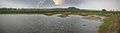
Gallery

-
.jpg)
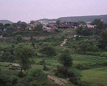
A Village in Dina
-

Railways Station Dina View 1
-

Railway Station Dina View 2
-
A Village SadSehan in Dina View 1
-
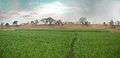
A Village SadSehan in Dina View 2
-
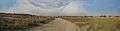
A Village PeerShah Wasan Road 2010 View 1
-

A Village PeerShah Wasan Road 2010 View 2
References
External links

Coordinates: 33°01′42″N 73°36′04″E / 33.02833°N 73.60111°E