Clackamas Wilderness
| Clackamas Wilderness | |
|---|---|
|
IUCN category Ib (wilderness area) | |
| Location | Clackamas County, Oregon, USA |
| Nearest city | Detroit, Oregon |
| Coordinates | 44°54′N 121°50′W / 44.9°N 121.83°WCoordinates: 44°54′N 121°50′W / 44.9°N 121.83°W |
| Area | 9,470 acres (3,830 ha) |
| Established | 2009 |
| Governing body | U.S. Forest Service |
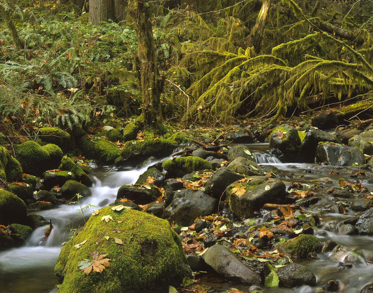
The Clackamas Wilderness is a wilderness area located in the Mount Hood National Forest in the northwestern Cascades of Oregon, United States. Created by the Omnibus Public Land Management Act of 2009, it consists of 9,470 acres (3,830 ha).[1][2] The wilderness is made up of five different tracts of lands with no roads on a 50-mile (80 km) stretch on both sides of the Clackamas River. These areas include Big Bottom, Memaloose Lake, Clackamas Canyon, Sisi Butte and South Fork Clackamas. It has some of the biggest trees in northwest Oregon. Memaloose Lake is a very popular hiking trail that leads through a forest to the lake, and then continues a mile up to a viewpoint on to up South Fork Mountain.[2][3]
References
- ↑ "Clackamas Wilderness, Oregon". Public Lands Information Center. Retrieved January 27, 2012.
- 1 2 "Clackamas Wilderness". Wilderness.net. Retrieved January 27, 2012.
- ↑ Sullivan, William L. (April 21, 2009). "Into the Wilds: A look around the state at the new wilderness areas designated by Congress". The Register-Guard. Retrieved January 27, 2012.
External links
- Photo of Whale Creek in the wilderness by Philip A. Knouf
This article is issued from Wikipedia - version of the 2/12/2015. The text is available under the Creative Commons Attribution/Share Alike but additional terms may apply for the media files.