Cocorná
| Cocorná | ||
|---|---|---|
| Municipality | ||
| ||
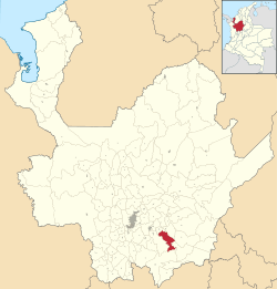 Location of the municipality of Cocorná in the Antioquia Department | ||
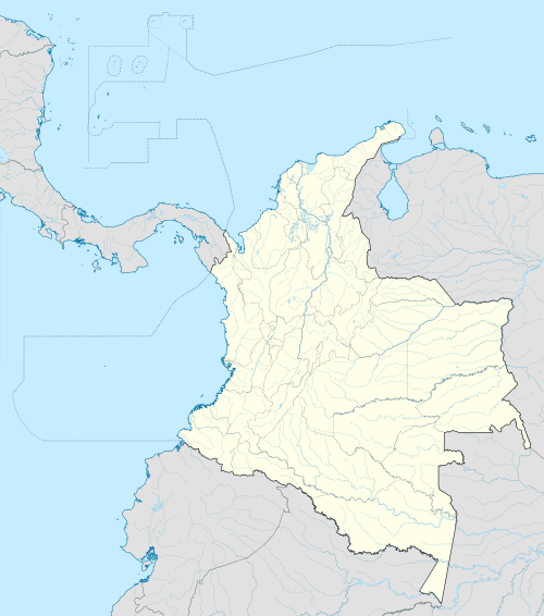 Cocorná Location in Colombia | ||
| Coordinates: 6°3′25″N 75°11′7″W / 6.05694°N 75.18528°WCoordinates: 6°3′25″N 75°11′7″W / 6.05694°N 75.18528°W | ||
| Country |
| |
| Region | Andean Region | |
| Department |
| |
| Subregion | Eastern | |
| Government | ||
| • Alcalde | Hector Duque Ramirez | |
| Area | ||
| • Total | 210 km2 (80 sq mi) | |
| Elevation | 1,300 m (4,300 ft) | |
| Population (2002) | ||
| • Total | 21,552 | |
| • Density | 100/km2 (270/sq mi) | |
| Website |
www | |

Cocorná is a municipality in the Colombian department of Antioquia. Part of the subregion of Eastern Antioquia.
Geography
It has an extension of 210 km², with a mountainous territory, with great extensions of forest, and with many important rivers. La extención, medida con planimetro por la Oficina de Planeación Departamental cuando se separo San Francisco, es de 257.5 km². La extención, medida en Cornare, sin definir los problemas limítrofes es de 257 km². Estos datos son más verídicos pues quienes dicen que la extención es de 210 km² se basan en una simple resta del área inicial de 1050 km² menos las área segregadas desde 1853.
Economy
- Tourism
- Agriculture, specially of sugar and maize.
Roads
Is 90 km away from Medellín, 1 hour and a half in car, by an excellent road. It also has roads to the Corregimiento La Piñuela, and the municipalities of San Francisco and Granada.
Tourism
Cocorná has been since the 1980s a touristic place for many people, and since 2006, the government, believing in the all the potential Cocorná has for it, has been sponsoring economical investments in the area.
New hotels, and many projects that involve new jobs, are the result of that.
Sites of interest
- Rivers where people can practice fishing, or simply enjoy the natural pools formatted by the river
- Water Falls there are many and very near to the municipality
- Forest very well conserved
- Landscape
Capital: Medellín | |||||||||||||||||||||||||||||||||||
| Regions and municipalities |
| ||||||||||||||||||||||||||||||||||
| Related topics | |||||||||||||||||||||||||||||||||||