Collbató
| Collbató | ||
|---|---|---|
| Municipality | ||
|
Sunset at Collbató | ||
| ||
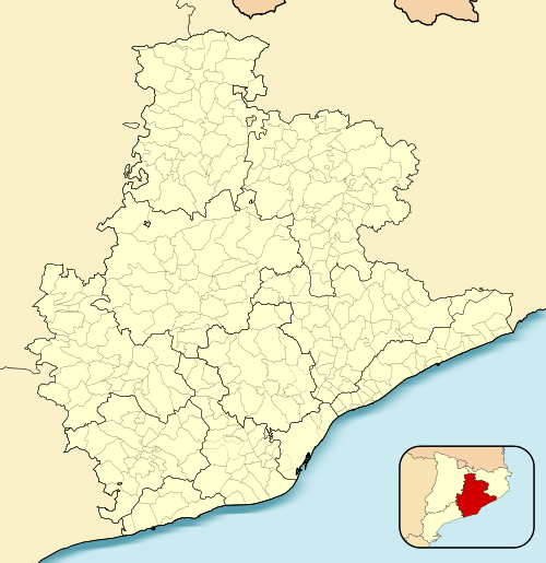
 Collbató  Collbató Location in Catalonia | ||
| Coordinates: 41°34′N 01°50′E / 41.567°N 1.833°ECoordinates: 41°34′N 01°50′E / 41.567°N 1.833°E | ||
| Country |
| |
| Community |
| |
| Province | Barcelona | |
| Comarca | Baix Llobregat | |
| Government | ||
| • Mayor | Miquel Solà Navarro (2015)[1] | |
| Area[2] | ||
| • Total | 18.1 km2 (7.0 sq mi) | |
| Elevation | 388 m (1,273 ft) | |
| Population (2014)[1] | ||
| • Total | 4,427 | |
| • Density | 240/km2 (630/sq mi) | |
| Website |
www | |
Collbató (Catalan pronunciation: [ˌkɔʎβəˈto]) is a municipality in the comarca of the Baix Llobregat in Catalonia, Spain. It is situated on the southern slopes of Montserrat. The area has been inhabited since at least 4000 BC, as shown by Neolithic remains found in caves above the village (on display at the museum at the monastery of Montserrat). Although agriculture (olives, grapes and almonds) is the major economic activity, the village is also home to a workshop for the manufacture of organs.
Images
Collbato pictures
-

Salnitre Caves
-

Amadeu Vives Street
-

Sant Corneli Church 1
Demography
| 1900 | 1930 | 1950 | 1970 | 1986 | 2002 |
|---|---|---|---|---|---|
| 665 | 509 | 416 | 451 | 728 | 2752 |
References
- 1 2 "Ajuntament de Collbató". Generalitat of Catalonia. Retrieved 2015-11-13.
- ↑ "El municipi en xifres: Collbató". Statistical Institute of Catalonia. Retrieved 2015-11-23.
- Panareda Clopés, Josep Maria; Rios Calvet, Jaume; Rabella Vives, Josep Maria (1989). Guia de Catalunya, Barcelona:Caixa de Catalunya. ISBN 84-87135-01-3 (Spanish). ISBN 84-87135-02-1 (Catalan).
 |
El Bruc | Monistrol de Montserrat | Esparreguera |  |
| |
||||
| ||||
| | ||||
| Els Hostalets de Pierola |
This article is issued from Wikipedia - version of the 11/10/2016. The text is available under the Creative Commons Attribution/Share Alike but additional terms may apply for the media files.

.svg.png)