Coolbinia, Western Australia
| Coolbinia Perth, Western Australia | |||||||||||||
|---|---|---|---|---|---|---|---|---|---|---|---|---|---|
 Coolbinia | |||||||||||||
| Coordinates | 31°54′47″S 115°51′14″E / 31.913°S 115.854°ECoordinates: 31°54′47″S 115°51′14″E / 31.913°S 115.854°E | ||||||||||||
| Population | 1,536 (2011 census)[1] | ||||||||||||
| Postcode(s) | 6050 | ||||||||||||
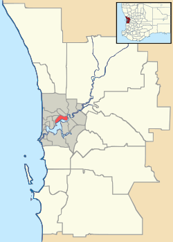
| Location | 6 km (4 mi) N of Perth CBD | ||||||||||||
| LGA(s) | City of Stirling | ||||||||||||
| State electorate(s) | Mount Lawley | ||||||||||||
| Federal Division(s) | Perth | ||||||||||||
| |||||||||||||
Coolbinia is a suburb of Perth, Western Australia. Its local government area is the City of Stirling.
The name Coolbinia is an Aboriginal word for mistletoe and the suburb was named when split from Mount Lawley in 1953.[2]
References
- ↑ Australian Bureau of Statistics (31 October 2012). "State Suburbs: Coolbinia". 2011 Census QuickStats. Retrieved 4 July 2012.
- ↑ Western Australian Land Information Authority. "History of metropolitan suburb names – C". Retrieved 2008-10-05.
| Coastal |  | |
|---|---|---|
| Central | ||
| South Eastern | ||
¹ Suburb shared with other local government areas | ||
This article is issued from Wikipedia - version of the 4/24/2016. The text is available under the Creative Commons Attribution/Share Alike but additional terms may apply for the media files.