Creegbrawse
Coordinates: 50°14′53″N 5°09′50″W / 50.248°N 5.164°W
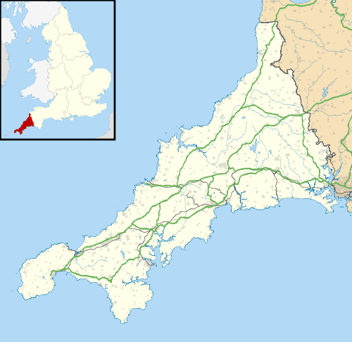
Creegbrawse is a hamlet in west Cornwall, England, United Kingdom. It is situated between the villages of Chacewater and Todpool approximately three miles (5 km) east of Redruth.[1]
Creegbrawse was a busy mining area in the 19th century. Remains of the mining activity are still present including numerous mineshafts. Since the decline of the industry, the village has become a rural community centred on a crossroads; the roads lead to Chacewater, Twelveheads, Todpool and St Day via Little Beside.
References
- ↑ Ordnance Survey: Landranger map sheet 204 Truro & Falmouth ISBN 978-0-319-23149-4
External links

Wikimedia Commons has media related to Creegbrawse.
This article is issued from Wikipedia - version of the 1/23/2016. The text is available under the Creative Commons Attribution/Share Alike but additional terms may apply for the media files.
