Currys, Alabama
| Currys, Alabama | |
|---|---|
| Unincorporated community | |
 Currys, Alabama  Currys, Alabama | |
| Coordinates: 32°01′07″N 86°04′51″W / 32.01861°N 86.08083°WCoordinates: 32°01′07″N 86°04′51″W / 32.01861°N 86.08083°W | |
| Country | United States |
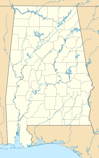
| State | Alabama |
| County | Montgomery |
| Elevation | 476 ft (145 m) |
| Time zone | Central (CST) (UTC-6) |
| • Summer (DST) | CDT (UTC-5) |
| Area code(s) | 334 |
| GNIS feature ID | 116980[1] |
Currys, also known as Lenora, is an unincorporated community in Montgomery County, Alabama, United States. Currys is located on Alabama State Route 94, 35.2 miles (56.6 km) south-southeast of Montgomery. A post office operated under the name Lenora from 1892 to 1905.[2]
References
- ↑ "Currys". Geographic Names Information System. United States Geological Survey.
- ↑ "Montgomery County". Jim Forte Postal History. Archived from the original on 19 January 2015. Retrieved 20 January 2015.
Municipalities and communities of Montgomery County, Alabama, United States | ||
|---|---|---|
| Cities | 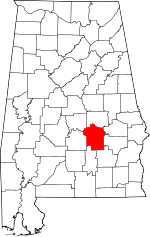 | |
| Towns | ||
| Unincorporated communities | ||
| Footnotes | ‡This populated place also has portions in an adjacent county or counties | |
This article is issued from Wikipedia - version of the 12/3/2016. The text is available under the Creative Commons Attribution/Share Alike but additional terms may apply for the media files.