Debre Sina, Ethiopia
| Debre Sina | |
|---|---|
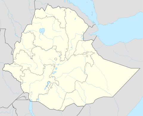 Debre Sina Location within Ethiopia | |
| Coordinates: 9°51′N 39°36′E / 9.850°N 39.600°ECoordinates: 9°51′N 39°36′E / 9.850°N 39.600°E | |
| Country | Ethiopia |
| Region | Amhara |
| Zone | Semien Wollo Zone |
| District | Debre Sina |
| Elevation | 2,700 m (8,900 ft) |
| Time zone | EAT (UTC+3) |
Debre Sina is a town in Amhara, Ethiopia. Located in Semien Wollo (North Wollo) in the Amhara Region (or kilil), this town has a latitude and longitude of 9°51′N 39°36′E / 9.850°N 39.600°E with an elevation of 2630 to 2830 meters above sea level. Although the district was named after this town, the administrative center of the Debre Sina district is located in Mekane Selam. Debre Sina is located along Ethiopian Highway 2. Just east of Debre Sirhan, the national highway reaches its highest point at 3120 meters above sealevel.
This article is issued from Wikipedia - version of the 9/2/2016. The text is available under the Creative Commons Attribution/Share Alike but additional terms may apply for the media files.