Deka Deka Island
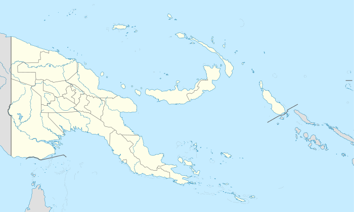 Deka Deka Island Location within Papua New Guinea | |
| Geography | |
|---|---|
| Location | Oceania |
| Coordinates | 10°38′19″S 150°38′55″E / 10.63861°S 150.64861°ECoordinates: 10°38′19″S 150°38′55″E / 10.63861°S 150.64861°E[1] |
| Archipelago | Louisiade Archipelago |
| Adjacent bodies of water | Solomon Sea |
| Total islands | 1 |
| Major islands |
|
| Area | 0.04 km2 (0.015 sq mi) |
| Length | 0.3 km (0.19 mi) |
| Width | 0.2 km (0.12 mi) |
| Coastline | 1 km (0.6 mi) |
| Highest elevation | 10 ft (3 m) |
| Administration | |
| Province |
|
| Island Group | Samarai Islands |
| Island Group | Logea Islands |
| Ward | Logea South |
| Demographics | |
| Demonym | Papuan people |
| Population | 0 (2014) |
| Pop. density | 0 /km2 (0 /sq mi) |
| Ethnic groups | Papauans, Austronesians, Melanesians. |
| Additional information | |
| Time zone | |
| Official website |
web |
| ISO Code = PG-MBA | |
Deka Deka Island is a small island off the SE end of Logea Island, in East Channel, Milne Bay Province, Papua New Guinea.
Administration
The island belongd to Logea South Ward, which belongs to Bwanabwana Rural Local Level Government Area LLG, Samarai-Murua District, which are in Milne Bay Province.[2]
Geography
The island is part of the Logea group, itself a part of Samarai Islands of the Louisiade Archipelago.
References
This article is issued from Wikipedia - version of the 11/17/2016. The text is available under the Creative Commons Attribution/Share Alike but additional terms may apply for the media files.