Pocklington Reef
|
ISS image of Pocklington Reef | |
 Pocklington Reef | |
| Geography | |
|---|---|
| Location | Solomon Sea |
| Coordinates | 10°48′44″S 155°44′18″E / 10.81222°S 155.73833°ECoordinates: 10°48′44″S 155°44′18″E / 10.81222°S 155.73833°E |
| Archipelago | Louisiade Archipelago |
| Adjacent bodies of water | Solomon Sea |
| Total islands | 2 inhabited on Bentley Group |
| Major islands |
|
| Area | 0.01 km2 (0.0039 sq mi) |
| Highest elevation | 1 m (3 ft) |
| Administration | |
| Province |
|
| District | Samarai-Murua District |
| LLG | Yaleyamba Rural Local Level Government Area |
| Demographics | |
| Population | 0 (2014) |
| Pop. density | 0 /km2 (0 /sq mi) |
| Additional information | |
| Time zone | |
| Official website |
www |
| ISO Code = PG-MBA | |
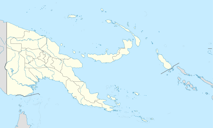
Pocklington Reef is a coral reef and a mostly submerged atoll in the far southeast of Papua New Guinea.
It is 162.4 km from the closest island, Loa Boloba, which is a tiny coral islet within the fringing reef near Cape Deliverance, the south east point of Rossel Island (Yela) in the Louisiade Archipelago, and belongs to Milne Bay province, Samarai-Murua District, Yaleyamba Rural Local Level Government Area.
Pocklington Reef sits on top of Pocklington Ridge, which extends north-east from Rossel Island. The reef is 32 km long and up to 4 km wide. Its longer axis is north-east-south-west. The rim of the reef encloses a deep lagoon. The northern rim reaches closer to the surface, and several above water rocks with heights between 0.9 and 3 metres high lie along its length. There is a small spit of sand about the size of a football field (less than one hectare) at the north-east end. There is a shipwreck at that location.[1]
On 28 April 1962, Panamanian SS Dona Ourania grounded on Pocklington Reef.[2]
Pocklington Reef Marine Park is a proposed marine protected area.[3]
References
- ↑ http://permanent.access.gpo.gov/websites/pollux/pollux.nss.nima.mil/NAV_PUBS/SD/pub164/164sec08.pdf
- ↑ https://books.google.com/books?id=tpo9AAAAIAAJ&pg=PA40&lpg=PA40&dq=%22Pocklington+Reef%22&source=web&ots=_dWQuJkqs4&sig=bvxhGPmAA-Qh0Hows-7WMzAFt6g&hl=en&sa=X&oi=book_result&resnum=37&ct=result
- ↑ http://www.mpaglobal.org/index.php?action=showMain&site_code=15924
External links
- Satellite image at the Wayback Machine (archived December 23, 2010)
- Maritime boundaries
- Papua New Guinea Act