Denton, East Sussex
| Denton | |
 Denton |
|
| OS grid reference | TQ451023 |
|---|---|
| – London | 49 miles (79 km) N |
| Civil parish | Newhaven |
| District | Lewes |
| Shire county | East Sussex |
| Region | South East |
| Country | England |
| Sovereign state | United Kingdom |
| Post town | NEWHAVEN |
| Postcode district | BN9 |
| Dialling code | 01273 |
| Police | Sussex |
| Fire | East Sussex |
| Ambulance | South East Coast |
| EU Parliament | South East England |
| UK Parliament | Lewes |
|
|
Coordinates: 50°48′09″N 0°03′32″E / 50.8025°N 0.05885°E
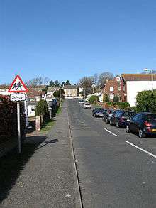
Denton is a small village inside the town boundary of Newhaven, East Sussex, England.[1][2] It adjoins the suburbs of South Heighton and Mount Pleasant and backs onto the South Downs
The Manor of Denton was held in Saxon times by Earl Godwin, Father of King Harold. It seems likely that Denton was destroyed during the Saxon rebellion of 1068. It does not appear in the Doomsday book of 1086. The name Denton comes from Old English and means farmstead or village in a valley.[3]
Denton's church, St. Leonard's, was first built around 1288, later extended and carefully restored during the Decorated Period. The walls are of flint and stone and the Vestry was added during the 20th Century. The remains of what is thought to have been a Priest's House in the west end of the churchyard, dating from about 1280, have recently been partly restored. The village has a junior school and one pub, the "Flying Fish" (originally named the "Kicking Donkey") which dates back to the 18th Century.
Ralph Reader who created the Gang Show for the Boy Scout movement was from the village and the local Scout pack are known as "The 2nd Denton & South Heighton (Ralph Reader's Own)".
There is also a man-made island called Denton Island, in the middle of Newhaven Harbour, which featured a Toll Bridge which the residents of Denton village were exempt from paying.
References
- ↑ Ordnance Survey: Landranger map sheet 198 Brighton & Lewes (Worthing, Horsham & Haywards Heath) (Map). Ordnance Survey. 2011. ISBN 9780319231432.
- ↑ "Ordnance Survey: 1:50,000 Scale Gazetteer" (csv (download)). www.ordnancesurvey.co.uk. Ordnance Survey. 1 January 2016. Retrieved 18 February 2016.
- ↑ Mills, A.D. (2011) [first published 1991]. A Dictionary of British Place Names (First edition revised 2011 ed.). Oxford: Oxford University Press. p. 149. ISBN 9780199609086.
External links
![]() Media related to Denton, East Sussex at Wikimedia Commons
Media related to Denton, East Sussex at Wikimedia Commons