Dun Vulan
Coordinates: 57°14′26″N 7°26′57″W / 57.24056°N 7.44917°W
 Eastern entrance of Dun Vulan | |
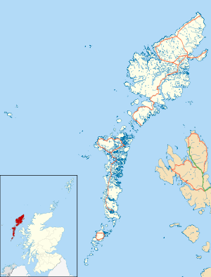
 Location in Highlands, Scotland | |
| Location | South Uist |
|---|---|
| Coordinates | 57°14′26″N 7°26′57″W / 57.240556°N 7.449167°W |
| Type | Broch |
| History | |
| Periods | Iron Age, Roman |
Dun Vulan Broch (Scottish Gaelic: 'Dùn Mhùlan' or 'Dùn Mhaoilinn') is an Iron Age broch in South Uist, Scotland.
Location
Dun Vulan is located in South Uist.[1] The site is now situated on an exposed promontory but was originally on a freshwater lake.[1]
Description
Dun Vulan is an Iron Age (c. 150–50 BC) broch located on the southern edge of the promontory; it is now protected as a sea wall.[1] Excavations revealed an oval-shaped broch with a maximum diameter of 19.5 metres, with walls surviving to 4.5 metres in height and 4 metres in width.
History
Between June 1991 and July 1996 Dun Vulan was excavated as part of the SEARCH (Sheffield Environmental and Archaeological Research Campaign in the Hebrides) Project.[2] The excavations suggested that there were no earlier structures predating the main structure on site.[3]
References
- 1 2 3 RCAHMS. "South Uist, Bornish, Dun Vulan (9825)". Canmore. Retrieved 26 February 2015.
- ↑ Parker Pearson, Mike; Sharples, Niall (1999). Between Land and Sea: Excavations at Dun Vulan, South Uist. Bath: Sheffield Academic Press.
- ↑ Gilmour, S (2002). Ballin Smith B; Banks, I, eds. In The Shadow of the Brochs. p. 64. ISBN 978-0752425177.
External links
![]() Media related to Dun Vulan at Wikimedia Commons
Media related to Dun Vulan at Wikimedia Commons