Ejpovice
| Ejpovice | |||
|---|---|---|---|
| Municipality | |||
|
Main street | |||
| |||
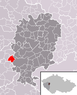 Location in Rokycany District | |||
 Ejpovice Location in the Czech Republic | |||
| Coordinates: 49°44′43″N 13°30′54″E / 49.74528°N 13.51500°ECoordinates: 49°44′43″N 13°30′54″E / 49.74528°N 13.51500°E | |||
| Country |
| ||
| Region | Plzeň | ||
| District | Rokycany | ||
| Area | |||
| • Total | 7.69 km2 (2.97 sq mi) | ||
| Elevation | 347 m (1,138 ft) | ||
| Population (1.1.2015) | |||
| • Total | 660 | ||
| • Density | 86/km2 (220/sq mi) | ||
| Postal code | 337 01 | ||
| Website | http://www.ejpovice.cz | ||
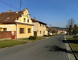


Ejpovice is a village and municipality (obec) in Rokycany District in the Plzeň Region of the Czech Republic.
The municipality covers an area of 7.69 square kilometres (2.97 sq mi), and has a population of 559 (as at 2 October 2006).
Ejpovice lies approximately 5 kilometres (3 mi) west of Rokycany, 11 km (7 mi) east of Plzeň, and 76 km (47 mi) south-west of Prague.
References
| Wikimedia Commons has media related to Ejpovice. |
This article is issued from Wikipedia - version of the 5/19/2016. The text is available under the Creative Commons Attribution/Share Alike but additional terms may apply for the media files.