Raková (Rokycany District)
| Raková | |
|---|---|
| Municipality | |
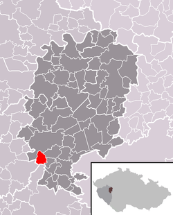 Location in Rokycany District | |
 Raková Location in the Czech Republic | |
| Coordinates: 49°42′10″N 13°34′37″E / 49.70278°N 13.57694°ECoordinates: 49°42′10″N 13°34′37″E / 49.70278°N 13.57694°E | |
| Country |
|
| Region | Plzeň |
| District | Rokycany |
| Area | |
| • Total | 5.43 km2 (2.10 sq mi) |
| Elevation | 460 m (1,510 ft) |
| Population (2006) | |
| • Total | 199 |
| • Density | 37/km2 (95/sq mi) |
| Postal code | 337 01 |
Raková is a village and municipality (obec) in Rokycany District in the Plzeň Region of the Czech Republic.
The municipality covers an area of 5.43 square kilometres (2.10 sq mi), and has a population of 199 (as at 3 July 2006).
Raková lies approximately 6 kilometres (4 mi) south of Rokycany, 16 km (10 mi) east of Plzeň, and 75 km (47 mi) south-west of Prague.
References
This article is issued from Wikipedia - version of the 4/7/2016. The text is available under the Creative Commons Attribution/Share Alike but additional terms may apply for the media files.