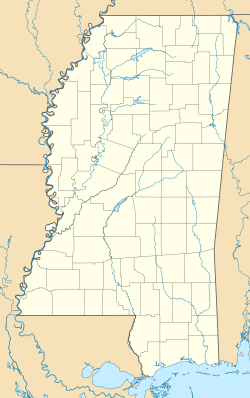
Farmhaven, Madison County, Mississippi
| Farmhaven, Mississippi | |
|---|---|
| Unincorporated community | |
 Farmhaven, Mississippi  Farmhaven, Mississippi | |
| Coordinates: 32°38′51″N 89°48′38″W / 32.64750°N 89.81056°WCoordinates: 32°38′51″N 89°48′38″W / 32.64750°N 89.81056°W | |
| Country | United States |
| State | Mississippi |
| County | Madison |
| Elevation | 374 ft (114 m) |
| Time zone | Central (CST) (UTC-6) |
| • Summer (DST) | CDT (UTC-5) |
| ZIP code | 39046 |
| Area code(s) | 601 |
| GNIS feature ID | 669914[1] |
Farmhaven is an unincorporated community located in Madison County, Mississippi. Farmhaven is approximately 13 miles (21 km) east of Sharon and approximately 5 miles (8.0 km) west of Carthage on Pat Luckett Road situated between Mississippi Highway 16 and the Natchez Trace Parkway.
Farmhaven is located within the Jackson Metropolitan Statistical Area.
References
This article is issued from Wikipedia - version of the 7/30/2016. The text is available under the Creative Commons Attribution/Share Alike but additional terms may apply for the media files.
