Flodaigh Mòr
See also: Flodday
| Gaelic name | Flodaigh |
|---|---|
| Meaning of name | "big raft island", from Norse |
| Location | |
 Flodaigh Mòr Flodaigh Mòr shown within the Outer Hebrides | |
| OS grid reference | NF913570 |
| Physical geography | |
| Island group | Uists and Barra |
| Area | 58 ha |
| Area rank | 186 [1] |
| Highest elevation | 28 m |
| Administration | |
| Sovereign state | United Kingdom |
| Country | Scotland |
| Council area | Na h-Eileanan Siar |
| Demographics | |
| Population | 0 |
| References | [2][3][4] |
Flodaigh Mòr (or Floddaymore) is an uninhabited island in the Outer Hebrides of Scotland.
Geography and geology
Flodaigh Mòr lies east of North Uist, close offshore to Ronay. It contains a large freshwater loch (with its own islets). The eastern headland (Rubha nan Caorach) is almost detached. To the north, skerries almost connect to Floddaybeg.[3]
Footnotes
- ↑ Area and population ranks: there are c. 300 islands over 20 ha in extent and 93 permanently inhabited islands were listed in the 2011 census.
- ↑ 2001 UK Census per List of islands of Scotland
- 1 2 Haswell-Smith, Hamish (2004). The Scottish Islands. Edinburgh: Canongate. ISBN 978-1-84195-454-7.
- ↑ Get-a-map (Map). Ordnance Survey.
Coordinates: 57°29′54″N 7°9′12″W / 57.49833°N 7.15333°W
Inhabited islands of the Hebrides | ||
|---|---|---|
| Inner Hebrides | 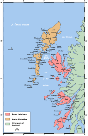 | |
| Outer Hebrides | ||
This article is issued from Wikipedia - version of the 12/1/2016. The text is available under the Creative Commons Attribution/Share Alike but additional terms may apply for the media files.