Fort Romie, California
| Fort Romie | |
|---|---|
| Unincorporated community | |
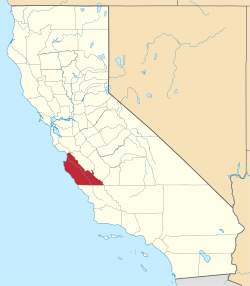
 Fort Romie Location in California | |
| Coordinates: 36°24′01″N 121°20′47″W / 36.40028°N 121.34639°WCoordinates: 36°24′01″N 121°20′47″W / 36.40028°N 121.34639°W | |
| Country | United States |
| State | California |
| County | Monterey County |
| Elevation[1] | 187 ft (57 m) |
Fort Romie (also, Romie)[2] is an unincorporated community in Monterey County, California.[1] It is located 2 miles (3.2 km) south-southwest of Soledad off County Route G17,[2] at an elevation of 187 feet (57 m).[1]
A post office operated at Romie from 1898 to 1900.[2] The name honors Charles Romie, a landowner who sold the land to the Salvation Army to establish an agricultural community at the site in 1898.[2]
References
This article is issued from Wikipedia - version of the 10/14/2016. The text is available under the Creative Commons Attribution/Share Alike but additional terms may apply for the media files.