Francisco I. Madero Municipality, Hidalgo
| Francisco I. Madero | ||
|---|---|---|
| Municipality | ||
 | ||
| ||
|
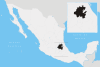
Francisco I. Madero Location in Mexico | ||
| Coordinates: 20°15′20″N 99°00′10″W / 20.25556°N 99.00278°WCoordinates: 20°15′20″N 99°00′10″W / 20.25556°N 99.00278°W | ||
| Country |
| |
| State | Hidalgo | |
| Municipal seat | Tepatepec | |
| Area | ||
| • Total | 95.1 km2 (36.7 sq mi) | |
| Population (2005) | ||
| • Total | 29,466 | |
.png)
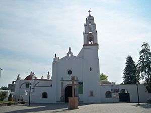
Francisco I. Madero is one of the 84 municipalities of Hidalgo, in central-eastern Mexico. The municipal seat lies at Tepatepec. The municipality covers an area of 95.1 km².
As of 2005, the municipality had a total population of 29,466.[1]
References
- ↑ "Francisco I. Madero". Enciclopedia de los Municipios de México. Instituto Nacional para el Federalismo y el Desarrollo Municipal. Retrieved December 27, 2008.
This article is issued from Wikipedia - version of the 8/13/2015. The text is available under the Creative Commons Attribution/Share Alike but additional terms may apply for the media files.