Hart Sheik
| Hart Sheik | |
|---|---|
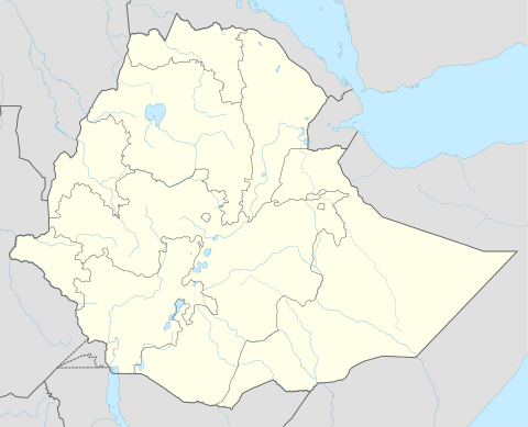 Hart Sheik Location within Ethiopia | |
| Coordinates: ET 9°9′N 43°21′E / 9.150°N 43.350°E | |
| Country | Ethiopia |
| Region | Somali |
| Zone | Jijiga |
| Elevation | 1,590 m (5,220 ft) |
| Population (2005) | |
| • Total | 22,186 |
| Time zone | EAT (UTC+3) |
Hart Sheik (also transliterated Hartishek) is a town in eastern Ethiopia, and best known as the location of a refugee camp operated by the United Nations High Commissioner for Refugees in 2000. According to materials at the Nordic Africa Institute website, the town may be named after a Somali qadiim sheik, the Sheikh Ahmed Boon.[1] Both are located in semi-arid desert region, known as the Ogaden, near the Somali-Ethiopian border.
Located in the Jijiga Zone of the Somali Region, this town has a latitude and longitude of 9°9′N 43°21′E / 9.150°N 43.350°ECoordinates: 9°9′N 43°21′E / 9.150°N 43.350°E and an elevation of 1590 meters above sea level.
Refugee camp
The camp was opened near the town during the Somali Civil War in 1988, to host Somalians fleeing the war. It was at one time the world’s largest refugee camp. Mortality and malnutrition rates among children at the camp prompted many calls for humanitarian aid.[2]
Later, Hart Sheik became home to more than 250,000 people, mostly Somalians from the Gabiley and Hargeysa areas in north-western Somalia. The camp was closed in July 2004, but thousands of people remained there, mostly internally displaced persons from within the Somali Region. Those who left it went to Somaliland after the end of the civil war.
Demographics
Based on figures from the Central Statistical Agency in 2005, Hart Sheik has an estimated total population of 22,186, of whom 11,306 are men and 10,880 are women.[3] It is the larger of two towns in Kebri Beyah woreda.
The 1997 census reported this town had a total population of 14,885 of whom 7,469 were men and 7,416 women. The three largest ethnic groups reported in this town were the Somali (93.36%), the Amhara (2.57%), and the Oromo (2.49%); all other ethnic groups made up the remaining 1.58% of the residents.[4]
Notes
- ↑ "Local History in Ethiopia" The Nordic Africa Institute website (accessed 18 November 2007)
- ↑ Ethiopia: Child deaths and malnutrition at emergency levels in IDP camp
- ↑ CSA 2005 National Statistics, Table B.4
- ↑ 1994 Population and Housing Census of Ethiopia: Results for Somali Region, Vol. 1 Tables 2.4, 2.14 (accessed 10 January 2009). The results of the 1994 census in the Somali Region were not satisfactory, so the census was repeated in 1997.
External links
- Ethiopia's children dying from malnutrition - UNICEF.org
- A satellite map of Hartishek - Indexmundi.com