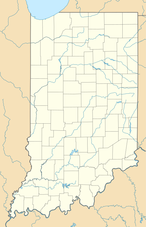
Hemenway, Indiana
| Hemenway | |
|---|---|
| Unincorporated community | |
 Hemenway  Hemenway | |
| Coordinates: 38°12′14″N 87°08′04″W / 38.20389°N 87.13444°WCoordinates: 38°12′14″N 87°08′04″W / 38.20389°N 87.13444°W | |
| Country | United States |
| State | Indiana |
| County | Warrick |
| Township | Lane |
| Elevation[1] | 466 ft (142 m) |
| Time zone | Central (CST) (UTC-6) |
| • Summer (DST) | CDT (UTC-5) |
| ZIP code | 47637 |
| Area code(s) | 812 |
| GNIS feature ID | 436001 |
Hemenway is an unincorporated community in Lane Township, Warrick County, in the U.S. state of Indiana.[2]
History
A post office was established at Hemenway in 1900, but closed soon after, in 1903.[3] Members of the Hemenway family were among the early settlers in the area.[4]
Geography
Hemenway is located at 38°12′14″N 87°08′04″W / 38.20389°N 87.13444°W.
References
- ↑ "US Board on Geographic Names". United States Geological Survey. October 25, 2007. Retrieved 2016-07-09.
- ↑ "Hemenway, Indiana". Geographic Names Information System. United States Geological Survey. Retrieved 2016-07-09.
- ↑ "Warrick County". Jim Forte Postal History. Retrieved 3 October 2015.
- ↑ History of Warrick, Spencer, and Perry Counties, Indiana: From the Earliest Time to the Present. Goodspeed. 1885. p. 125.
This article is issued from Wikipedia - version of the 10/30/2016. The text is available under the Creative Commons Attribution/Share Alike but additional terms may apply for the media files.