Kebri Mangest
| Kibre Mengist ክብረ መንግሥት Adola, Angedi | |
|---|---|
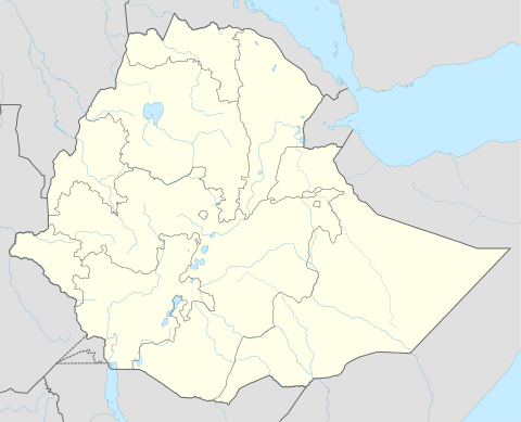 Kibre Mengist Location within Ethiopia | |
| Coordinates: 5°53′N 38°59′E / 5.883°N 38.983°ECoordinates: 5°53′N 38°59′E / 5.883°N 38.983°E | |
| Country | Ethiopia |
| Region | Oromia |
| Zone | Guji |
| Elevation | 1,758 m (5,768 ft) |
| Population (2007) | |
| • Total | 22,938 |
| Time zone | EAT (UTC+3) |
Kibre Mengist (Amharic "Glory of the State"; also known as Adola or Angedi "ክብረ መንግሥት" "አዶላ") is a town and separate woreda in southeastern Ethiopia. It is located in the Guji Zone of the Oromia Region, at an altitude of 1,758 metres (5,768 ft) above sea level.
Overview
Kibre Mengist is served by a network of roads. A new road to Shakiso was built around 1960. Two years later an all-weather road reached the town from the north and a dry-weather road south to Negele Borana.[1] This town has both telephone and postal service, and is supplied with electricity by the Ethiopian Electric Power Corporation from the national grid.[2]
The gold mine near Kibre Mengist has been the most historically important gold mine in Ethiopia since its opening in 1941; in 1944, for example, its revenue came to nearly a fifth of the total government budget. However, in the public vocabulary, according to the Ethiopian historian Bahru Zewde, the name of the town signified "terror both in the forcible recruitment of labour and in the conditions of penal servitude that prevailed in the labour camp."[3]
Kibre Mengist was founded during the Italian occupation; a British soldier who travelled through the area wrote in his memoirs that he remembered a "long, wooded valley with a few recently-built villas, the beginning of a new Italian settlement named Adola", as well as rumors that the Italians had found gold in the area.[1]
Demographics
The 2007 national census reported a total population for this town of 22,938, of whom 11,706 were men and 11,232 were women. The majority of the inhabitants said they practiced Ethiopian Orthodox Christianity, with 69.35% of the population reporting they observed this belief, while 17.5% of the population were Protestant, 11.05% were Muslim.[4] The 1994 national census reported this town had a total population of 20,136 of whom 10,159 were males and 9,977 were females. It is the larger of two towns in Adola and Wadera woreda.
Notes
- 1 2 "Local History in Ethiopia" The Nordic Africa Institute website (accessed 29 November 2007)
- ↑ Woreda administration sources, as quoted in Final Report for Aposto-Wendo-Negele (World Bank Report E1546, vol. 1), pp. 71f
- ↑ Bahru Zewde (2001). A History of Modern Ethiopia (second ed.). Oxford: James Currey. p. 200. ISBN 0-85255-786-8.
- ↑ 2007 Population and Housing Census of Ethiopia: Results for Oromia Region, Vol. 1, Tables 2.1, 2.5, 3.4 (accessed 13 January 2012)
| Former woredas | ||
|---|---|---|
| Current woredas |
| |