Langevåg, Hordaland
| Langevåg | |
|---|---|
| Village | |
|
View of the village | |
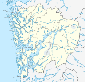 Langevåg  Langevåg Location in Hordaland county | |
| Coordinates: 59°36′07″N 05°12′29″E / 59.60194°N 5.20806°ECoordinates: 59°36′07″N 05°12′29″E / 59.60194°N 5.20806°E | |
| Country | Norway |
| Region | Western Norway |
| County | Hordaland |
| District | Sunnhordland |
| Municipality | Bømlo |
| Area[1] | |
| • Total | 1.15 km2 (0.44 sq mi) |
| Elevation[2] | 3 m (10 ft) |
| Population (2013)[1] | |
| • Total | 796 |
| • Density | 692/km2 (1,790/sq mi) |
| Time zone | CET (UTC+01:00) |
| • Summer (DST) | CEST (UTC+02:00) |
| Post Code | 5443 Bømlo |

Langevåg is a village in Bømlo municipality in Hordaland county, Norway. It is located on the southern tip of the island of Bømlo, along the Bømlafjorden. It lies in the far southern part of the municipality, about 12 kilometres (7.5 mi) south of the village of Lykling. The 1.15-square-kilometre (280-acre) village has a population (2013) of 796, giving the village a population density of 692 inhabitants per square kilometre (1,790/sq mi). This makes it the fourth largest village in the municipality.[1]

Norwegian County Road 541 goes through the village and ends at a ferry port that has a regular connection to the village of Buavåg in the municipality of Sveio across the fjord. The village is a historic church site with the Old Bømlo Church (from the 1600s) and the new Bømlo Church (from 1960) both being located here.[3] The Langevåg Bygdetun community centre opened in 2005.
References
- 1 2 3 Statistisk sentralbyrå (1 January 2013). "Urban settlements. Population and area, by municipality.".
- ↑ "Langevåg, Bømlo (Hordaland)" (in Norwegian). yr.no. Retrieved 2015-02-19.
- ↑ Store norske leksikon. "Langevåg – tettsted i Bømlo" (in Norwegian). Retrieved 2015-02-19.
External links
- Langevåg community centre (Norwegian)