Lee Point, Northern Territory
| Lee Point Darwin, Northern Territory | |||||||||||||
|---|---|---|---|---|---|---|---|---|---|---|---|---|---|
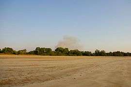 Beach at Lee Point. | |||||||||||||
| Population | 133 (?) | ||||||||||||
| • Density | 4.290/km2 (11.11/sq mi) | ||||||||||||
| Established | 1869 | ||||||||||||
| Postcode(s) | 0810 | ||||||||||||
| Area | 31.0 km2 (12.0 sq mi) | ||||||||||||
| Location | 18 km (11 mi) from Darwin | ||||||||||||
| LGA(s) | City of Darwin | ||||||||||||
| Territory electorate(s) | Casuarina | ||||||||||||
| Federal Division(s) | Solomon | ||||||||||||
| |||||||||||||
Lee Point is a northern suburb of the city of Darwin, Northern Territory, Australia.
History
Lee Point is not yet a developed suburb. The suburb name is derived from the point "Lee Point" which appears on Goyder’s 1869 Plan of Port Darwin and probably dates back to Stokes’ examination of the harbour in 1839. A short distance from the beach's carpark, one can find a well-preserved bunker used during World War II along the cycle path, which runs from Lee Point to Brinkin.
External links
Coordinates: 12°20′22″S 130°53′35″E / 12.33944°S 130.89306°E
This article is issued from Wikipedia - version of the 5/15/2016. The text is available under the Creative Commons Attribution/Share Alike but additional terms may apply for the media files.