Lengpui
| Lengpui | |
|---|---|
| town | |
 Lengpui  Lengpui | |
| Coordinates: 22°50′N 92°38′E / 22.83°N 92.63°ECoordinates: 22°50′N 92°38′E / 22.83°N 92.63°E | |
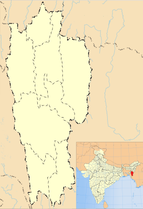
| Country | India |
| State | Mizoram |
| District | Mamit |
| Population (2001) | |
| • Total | 2,423 |
| Languages | |
| • Official | Mizo |
| Time zone | IST (UTC+5:30) |
| Vehicle registration | MZ |
| Website |
mizoram |
Lengpui is a census town in Mamit district in the Indian state of Mizoram.
Demographics
As of 2001 India census,[1] Lengpui had a population of 2423. Males constitute 51% of the population and females 49%. Lengpui has an average literacy rate of 80%, higher than the national average of 59.5%: male literacy is 81%, and female literacy is 78%. In Lengpui, 17% of the population is under 6 years of age.
Economy
The main Economy of Lengpui is Agriculture, the other main big employers are Lengpui Airport. The National Institute of Technology Mizoram[2] is also going to be placed in Lengpui area.
References
- ↑ "Census of India 2001: Data from the 2001 Census, including cities, villages and towns (Provisional)". Census Commission of India. Archived from the original on 2004-06-16. Retrieved 2008-11-01.
- ↑ Lalsawta (22 July 2012). "Education Minister". Vanglaini.
| State symbols | |
|---|---|
| Government | |
| Topics | |
| Districts | |
| Urban Areas | |
| Infrastructure | |
| Education |
|
| Tourism | |
| Protected areas | |
This article is issued from Wikipedia - version of the 10/1/2016. The text is available under the Creative Commons Attribution/Share Alike but additional terms may apply for the media files.