Lerona, California
Coordinates: 37°07′46″N 119°25′52″W / 37.12944°N 119.43111°W
| Lerona | |
|---|---|
| Unincorporated community | |
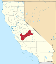
 Lerona  Lerona Location in California | |
| Coordinates: 37°07′46″N 119°25′52″W / 37.12944°N 119.43111°W | |
| Country | United States |
| State | California |
| County | Fresno County |
| Elevation[1] | 2,789 ft (850 m) |
Lerona is an unincorporated community in Fresno County, California.[1] It is located 6.5 miles (10 km) west-northwest of Shaver Lake Heights,[2] at an elevation of 2789 feet (850 m).[1]
References
This article is issued from Wikipedia - version of the 7/5/2016. The text is available under the Creative Commons Attribution/Share Alike but additional terms may apply for the media files.